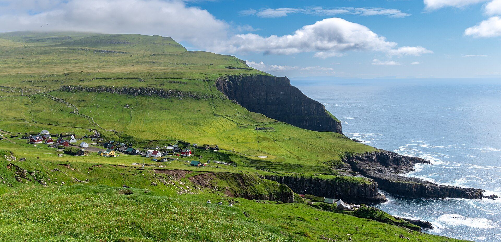
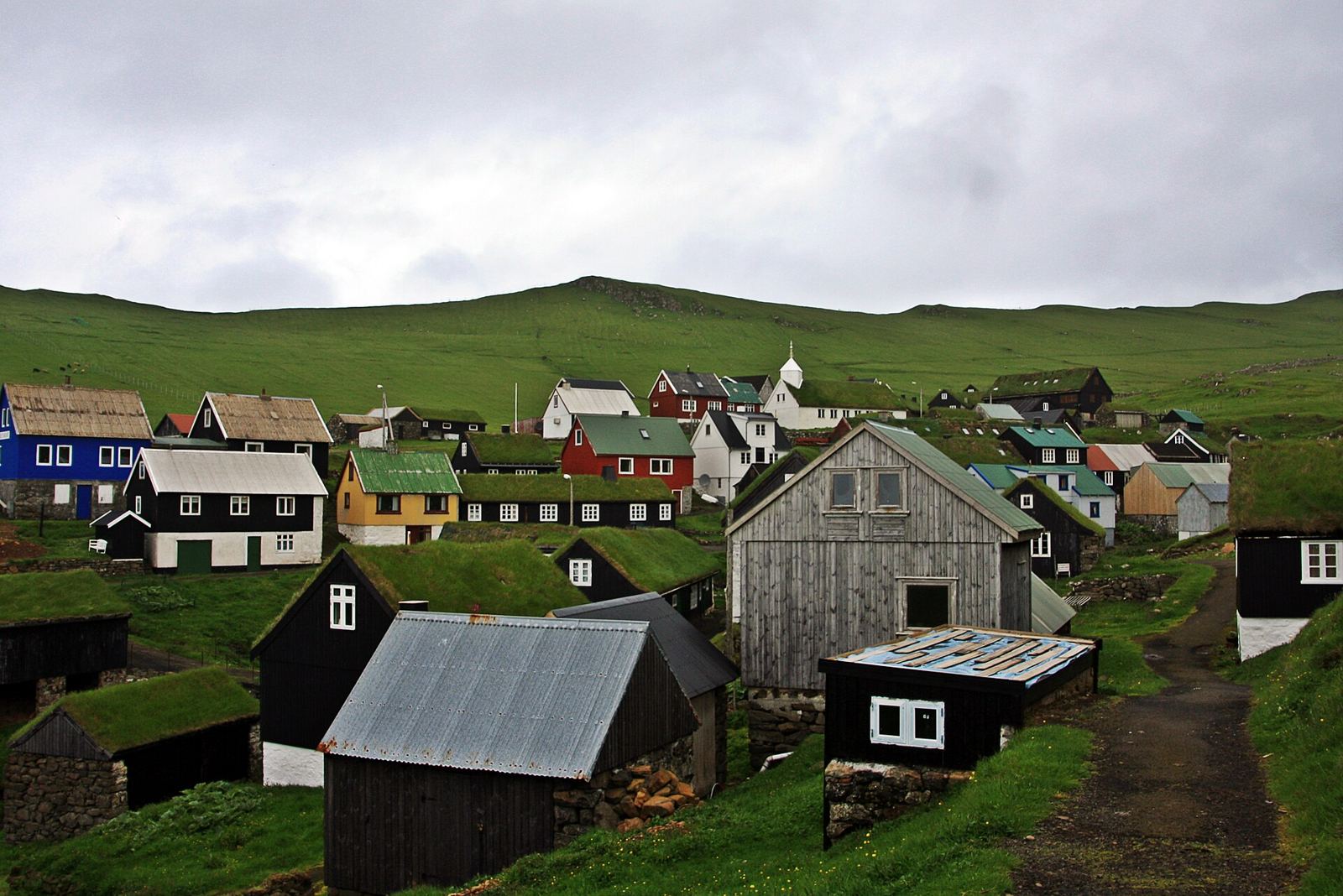
The westernmost Faroe island. Green cliffs drop into the North Atlantic, with seabirds wheeling over the grass.
About Mykines
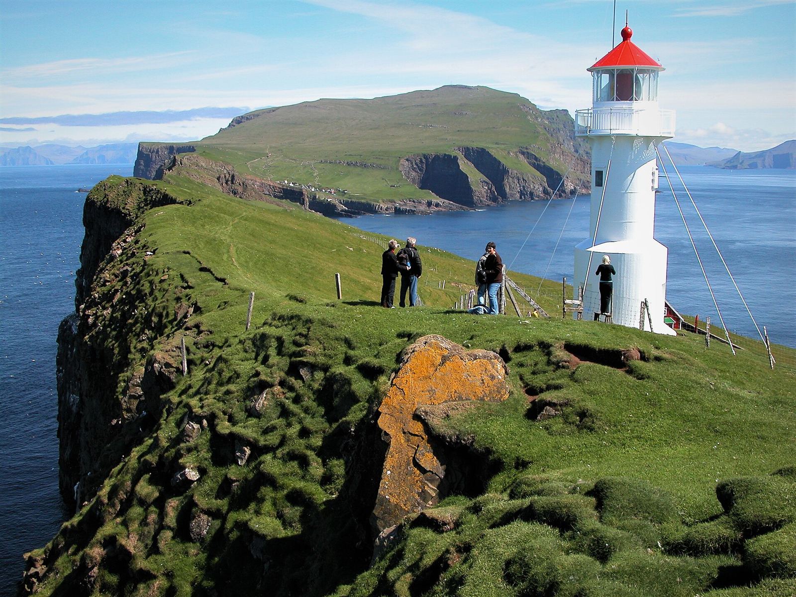
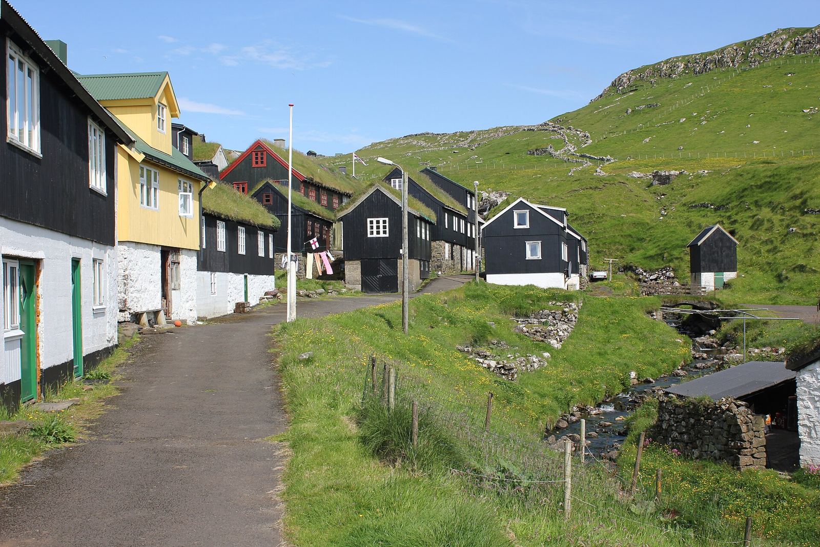
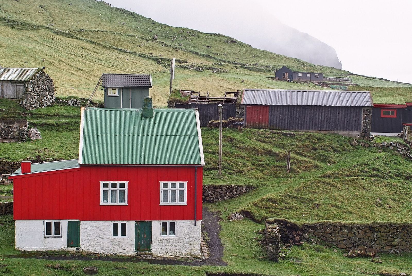
Mykines is the westernmost of the Faroe Islands, formed some 60 million years ago and one of the oldest parts of the archipelago. It has a single village of the same name. Soft layers of tuff between the basalt have worn away into ledges, making some of the richest bird cliffs in the world. Puffins dig their burrows in the grassy slopes, while gannets, guillemots and razorbills nest below. A 40 m footbridge leads to the islet of Mykineshólmur and its 1909 lighthouse. In the valley of Korkadalur stand basalt columns called the Stone-wood. The season runs May–September.
Getting there
- Best months
- May–September (tourist season); late May–early June is quieter
- Nearest airport / gateway
- Vágar Airport (FAE).
- Permits & fees
- The Faroe Islands are not in the EU or Schengen. A Schengen visa is not valid there.
- Sources
- en.wikivoyage.org/wiki/Faroe_Islands
en.wikipedia.org/wiki/Mykines
en.wikipedia.org/wiki/Mykines,_Faroe_Islands
Photos of Mykines