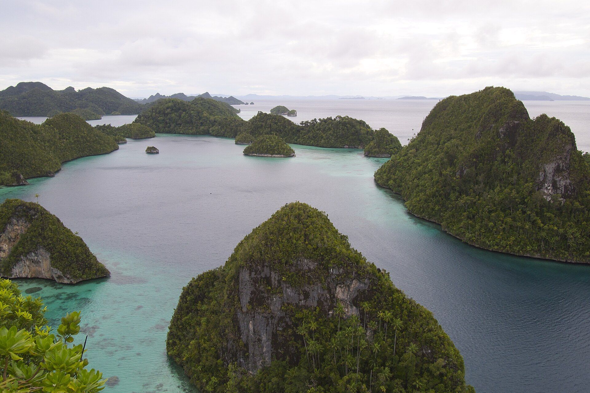
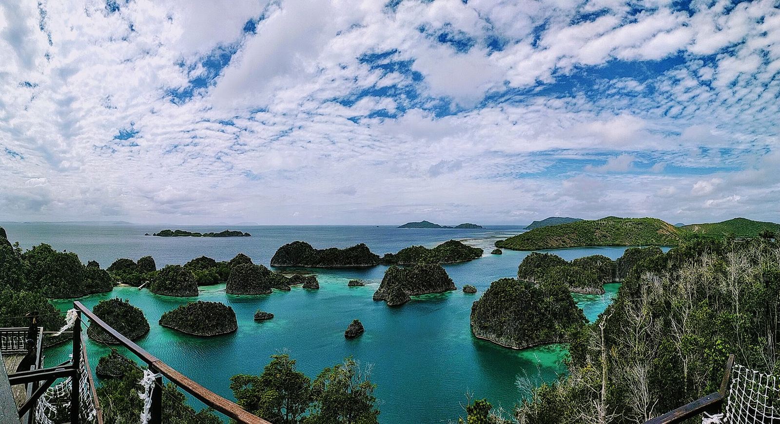
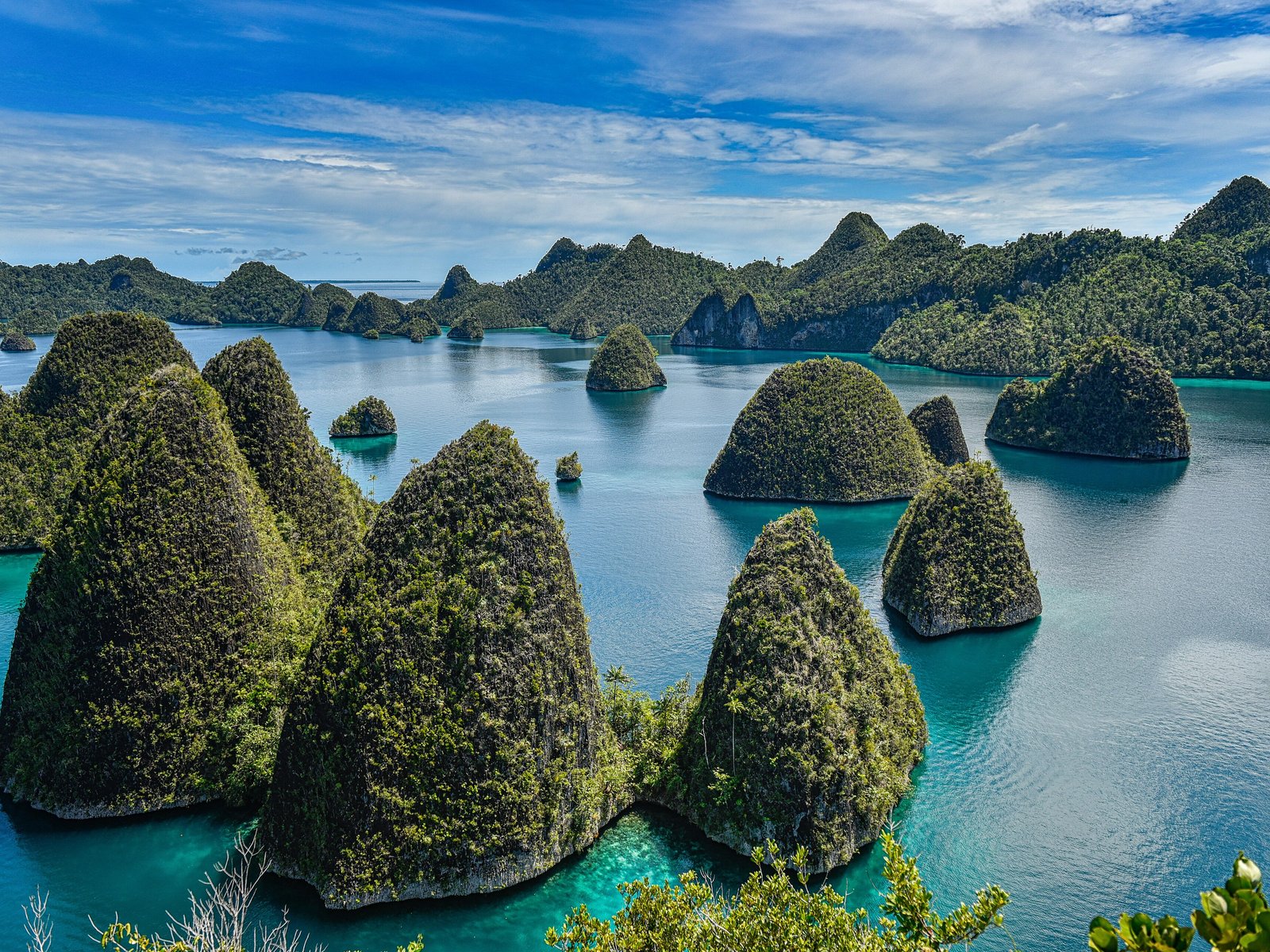
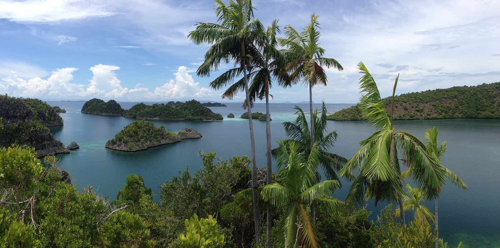
Green karst islands are scattered over a turquoise sea at the edge of West Papua.
About Raja Ampat
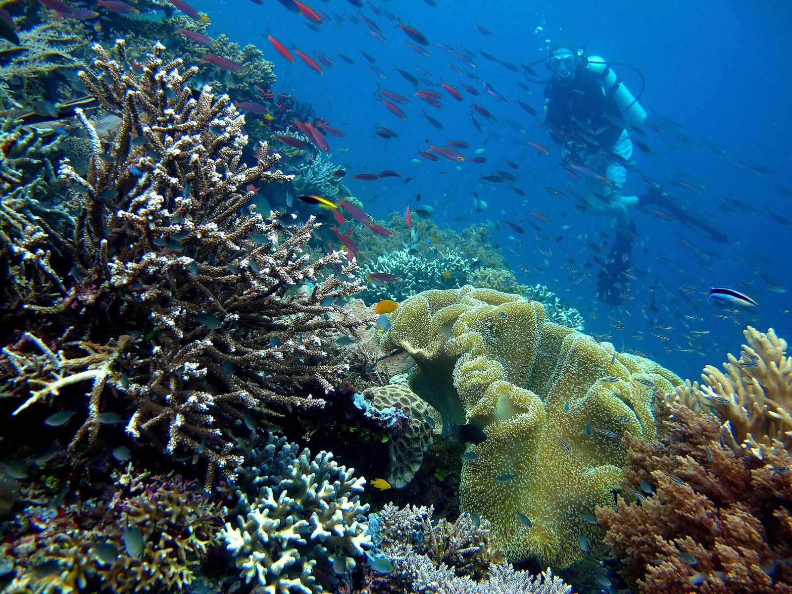
Raja Ampat, the “Four Kings”, is more than 1,500 islands, cays and shoals off the Bird’s Head of New Guinea, just south of the equator. The four main islands are Misool, Salawati, Batanta and Waigeo. The archipelago is part of the Coral Triangle, the richest marine biodiversity on Earth, where pygmy seahorses, whale sharks and whales share the reefs. People first came here more than 50,000 years ago. Today the islands face a threat from illegal nickel mining. The drier months, October to April, are the usual time to visit.
Getting there
- Best months
- October–April (drier period)
- Nearest airport / gateway
- Sorong, Dominique Edward Osok Airport (SOQ), then a 2–4 h ferry to Waisai.
- Permits & fees
- A marine park permit is required. It is valid for one year.
- Sources
- en.wikivoyage.org/wiki/Raja_Ampat
en.wikipedia.org/wiki/Raja_Ampat_Islands
Photos of Raja Ampat