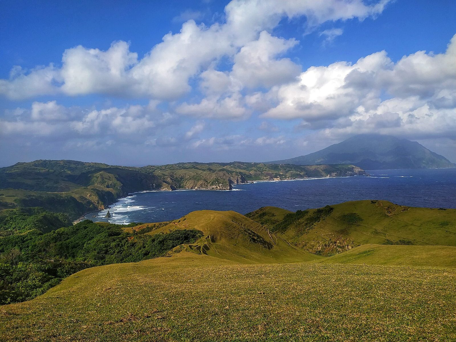
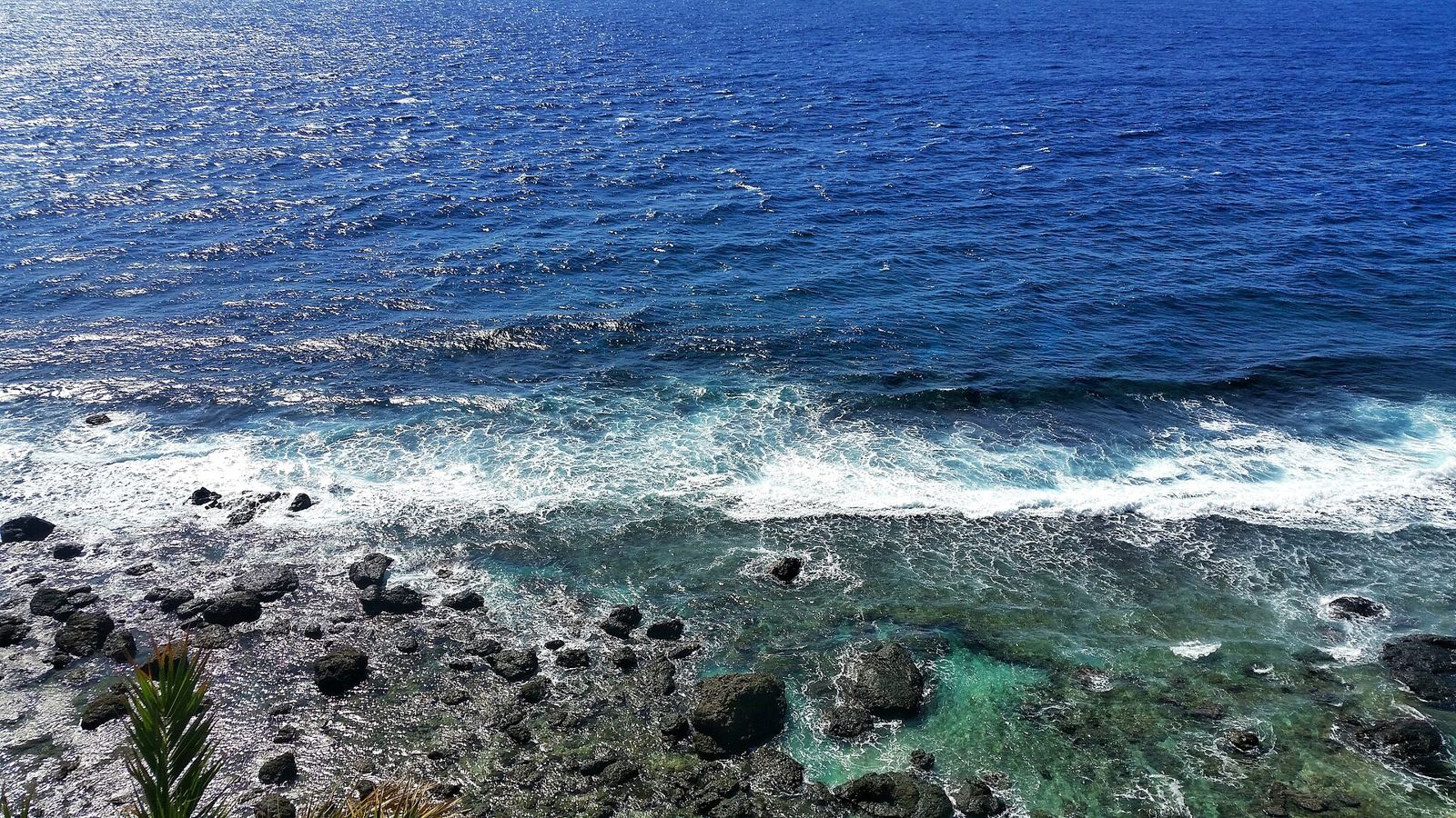
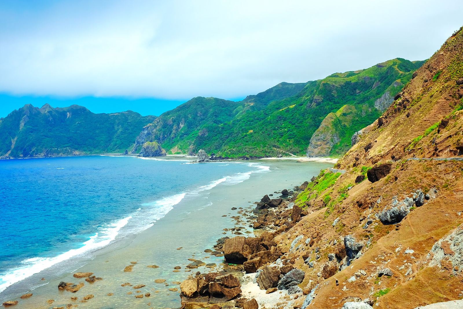
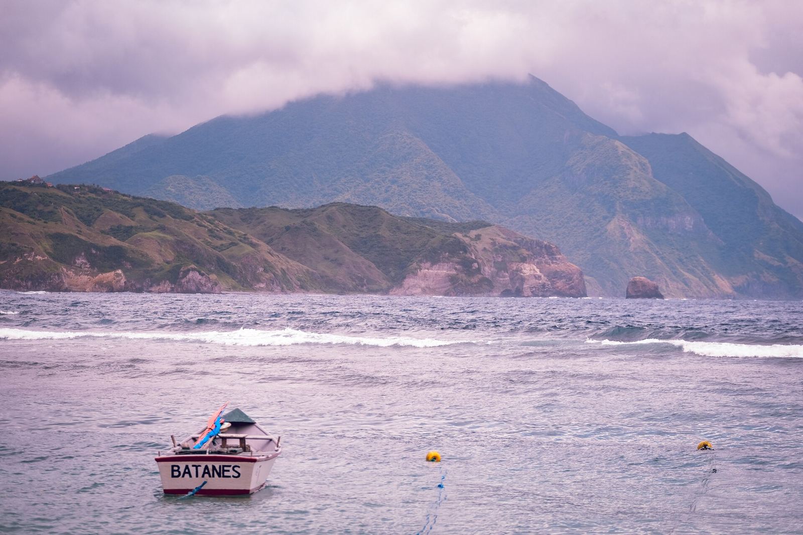
The northernmost Philippine islands: rolling green headlands, stone houses and wild Pacific surf.
About Batanes
Batanes is the northernmost and smallest province of the Philippines: ten islands in the Luzon Strait, about 190 km from Taiwan and 162 km from Luzon. Only Batan, Itbayat and Sabtang are lived on to any extent, and the capital, Basco, is on Batan. The name comes from Batan, the Ivatan people’s own name for the main island. In 1687 the explorer William Dampier wrote about the islanders’ sugar-cane drink, which tasted much like English beer. Batanes has the Philippines’ northernmost weather station, so it comes up often in typhoon reports. March–June brings the calmest winds and seas.
Getting there
- Best months
- March–June (dry season, calmer winds and waves).
- Nearest airport / gateway
- Basco Airport (BSO), with daily Philippine Airlines flights from Manila and Clark.
- Permits & fees
- Not stated
- Sources
- en.wikivoyage.org/wiki/Batanes
en.wikipedia.org/wiki/Batanes
Photos of Batanes