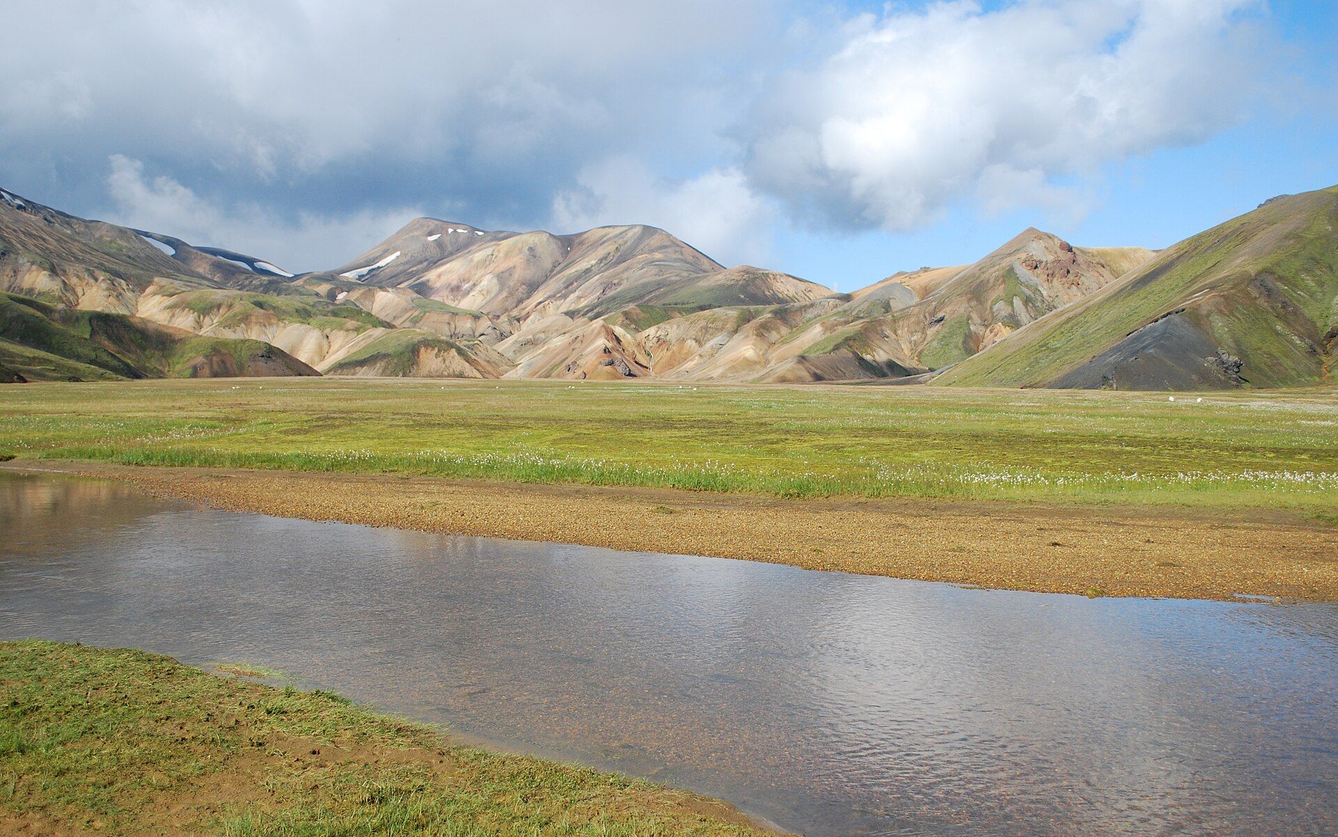
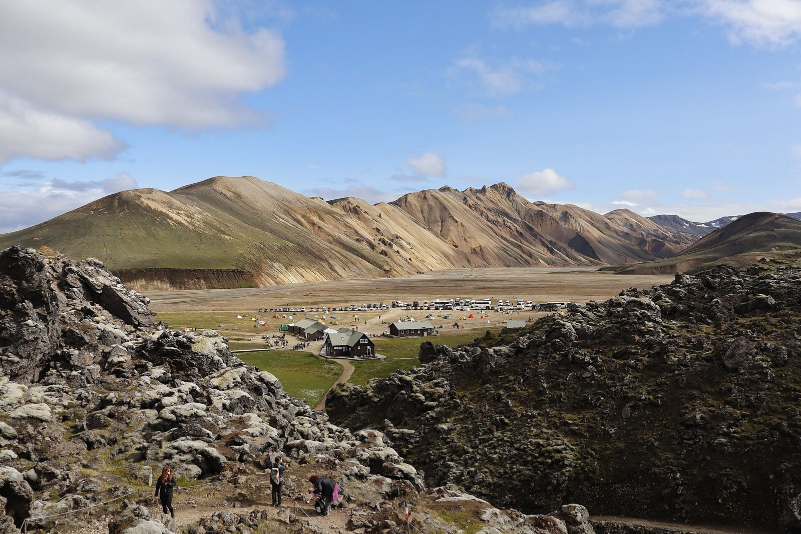
Rhyolite mountains streaked rust, ochre and green above lava fields and warm springs.
About Landmannalaugar
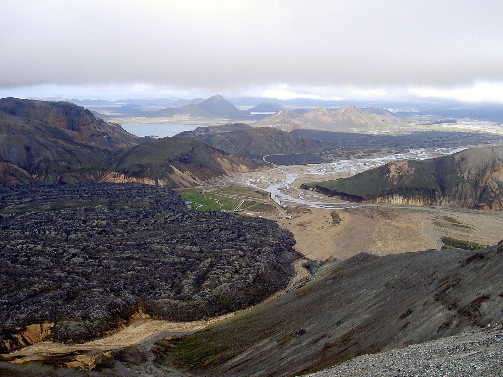
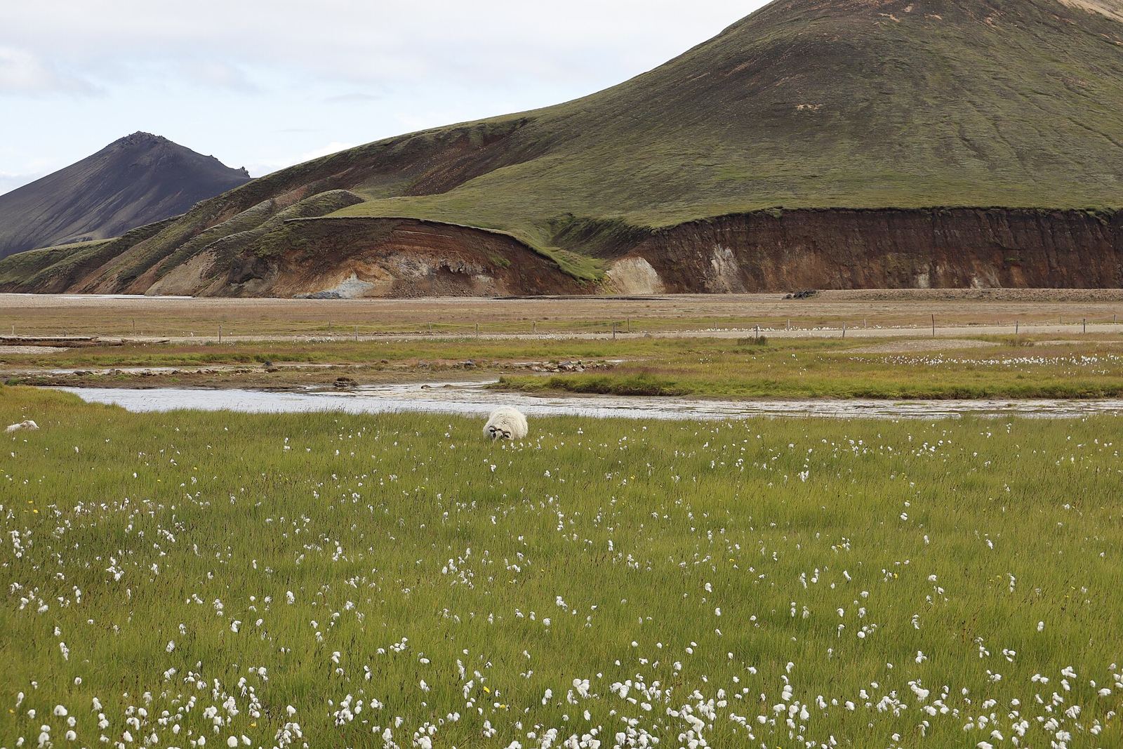
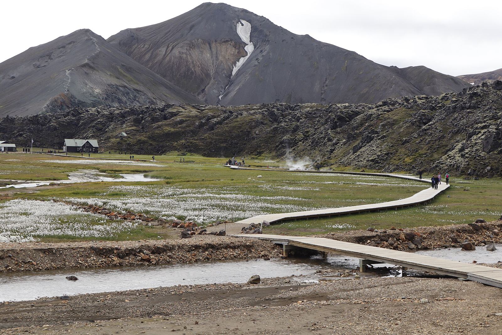
Landmannalaugar lies in Iceland’s Highlands, in the Fjallabak Nature Reserve, at the edge of the Laugahraun lava field, which erupted around 1477. It is known for its natural hot springs, where bathing is allowed. Trails lead across the lava to Brennisteinsalda, the “Sulphur Wave”, up Bláhnjúkur, the “Blue Peak”, and to the crater lake Ljótipollur. Landmannalaugar is also the northern end of the Laugavegur trail. Icelandic horses ride into valleys you can’t easily reach on foot, and there is Arctic char in the lakes. The roads usually open only from mid or late June to September.
Getting there
- Best months
- Summer only. Roads usually open mid/late June to September.
- Nearest airport / gateway
- Keflavík International Airport (KEF), about 40–50 km from Reykjavík, for international arrivals; domestic flights use Reykjavík Airport (RKV). A daily summer bus runs from Reykjavík (from about late June).
- Permits & fees
- A parking reservation system has been in place since the 2024 season. Mountain huts must be booked well ahead.
- Sources
- en.wikivoyage.org/wiki/Landmannalaugar
en.wikipedia.org/wiki/Landmannalaugar
en.wikivoyage.org/wiki/Iceland
en.wikipedia.org/wiki/Reykjav%C3%ADk_Airport
Photos of Landmannalaugar