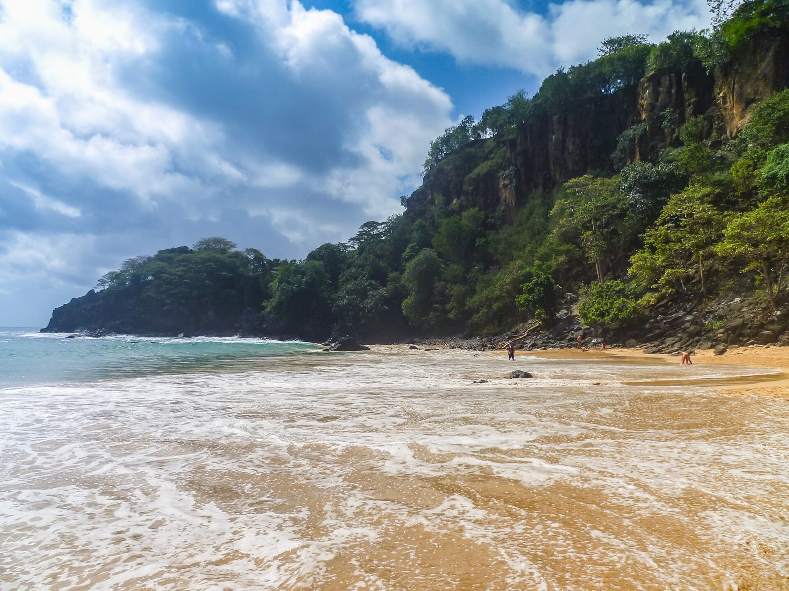
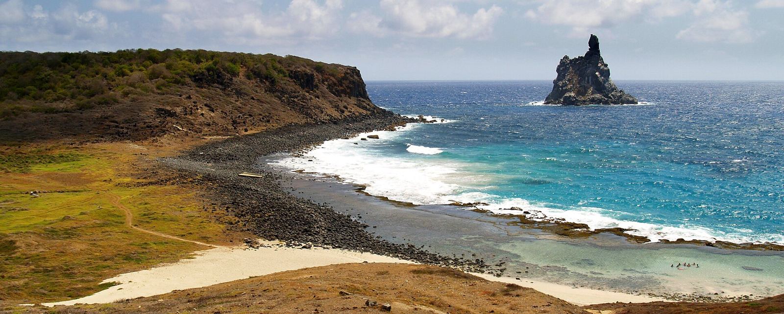
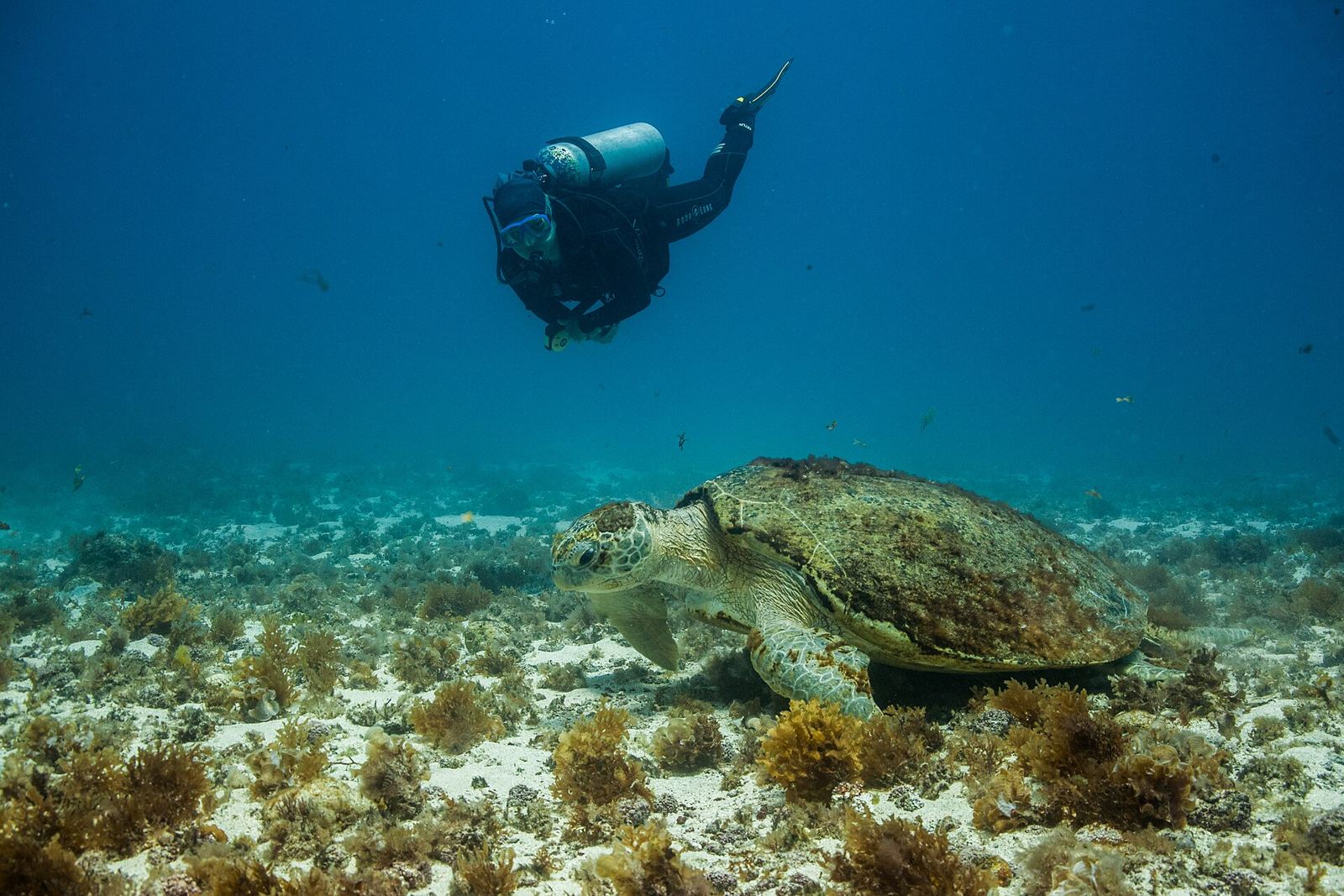
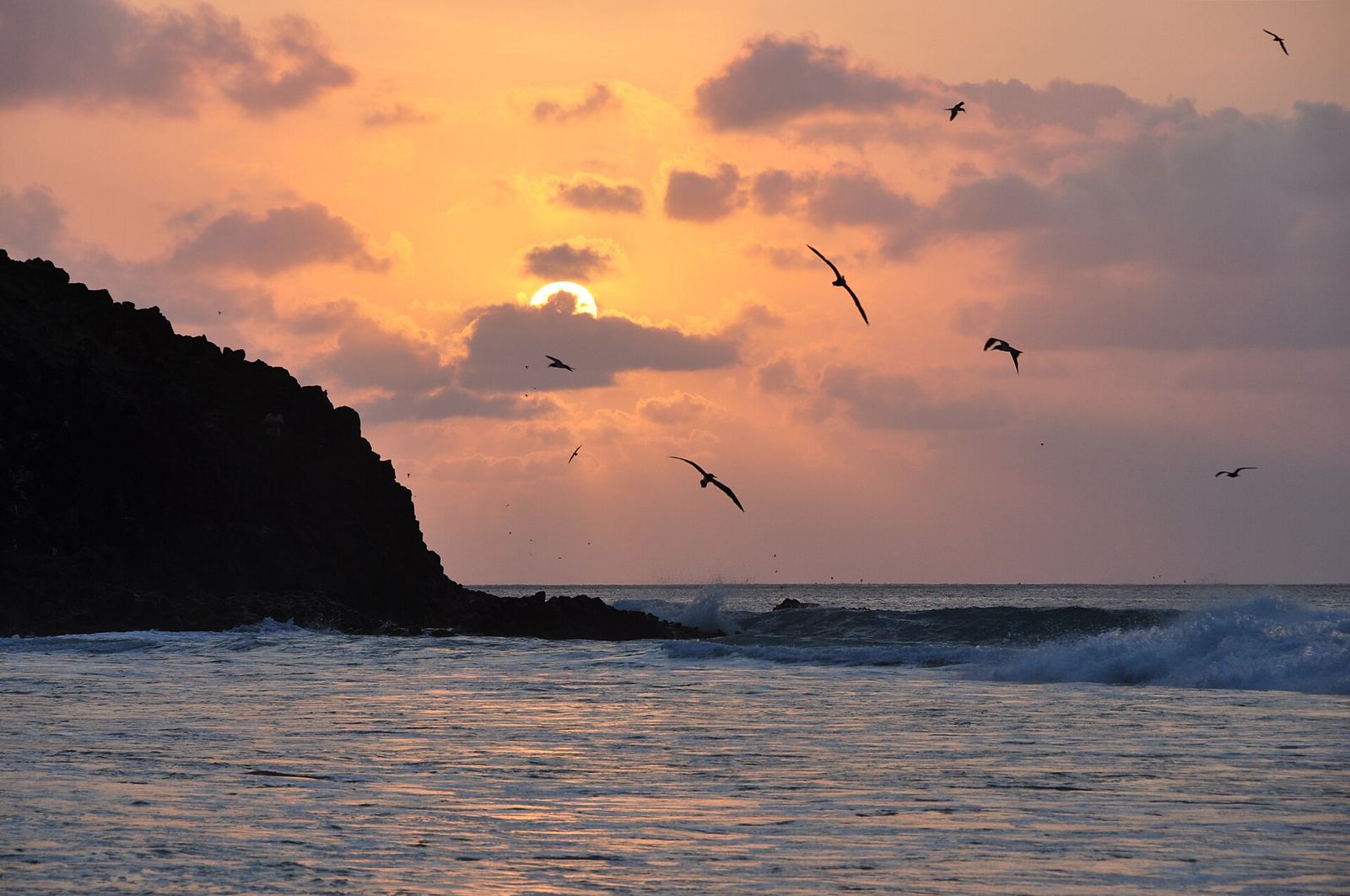
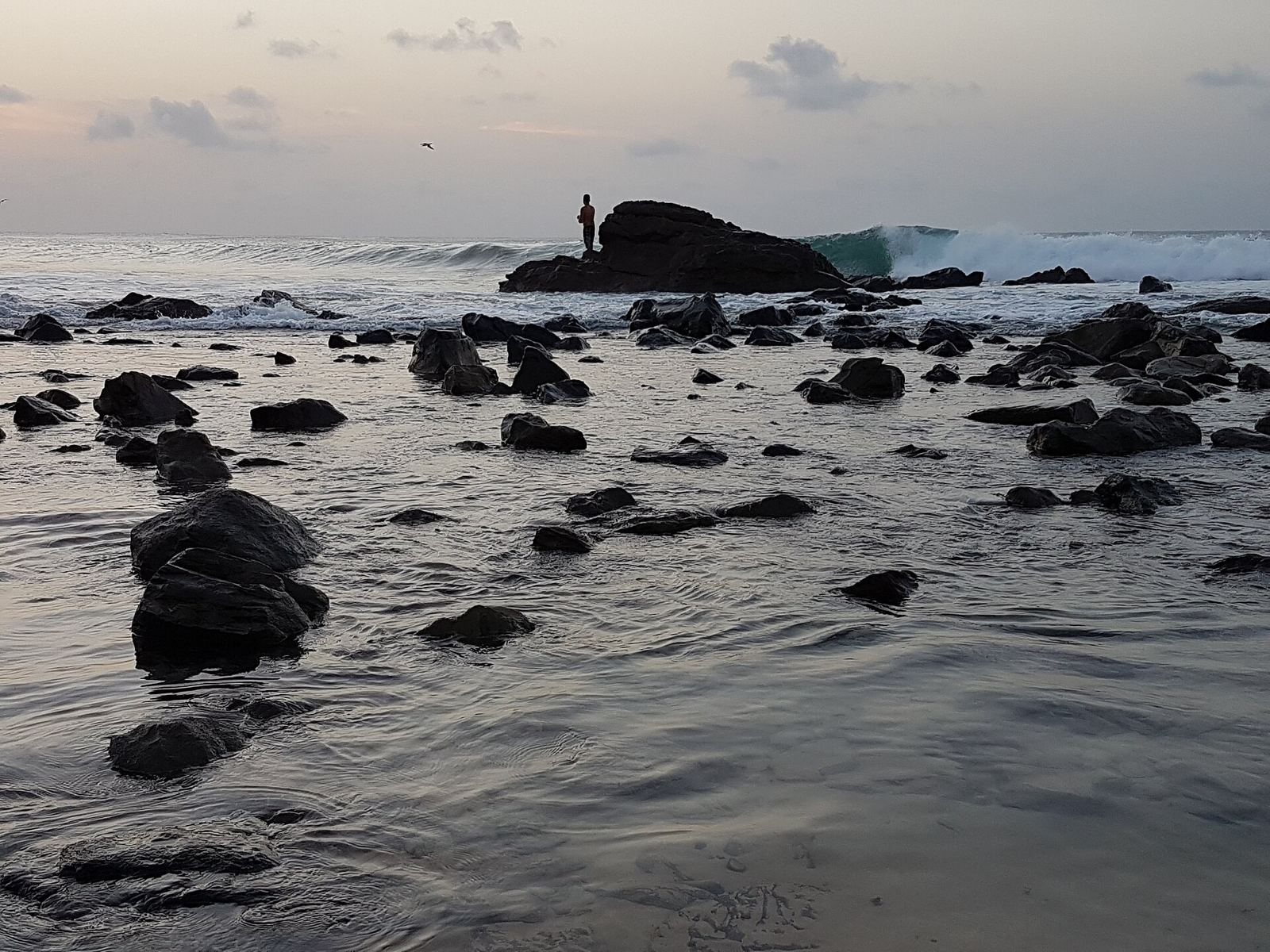
A volcanic archipelago far off Brazil's coast, with empty coves, clear water and sea turtles.
About Fernando de Noronha
Fernando de Noronha is a volcanic archipelago of 21 islands and islets, 354 km off the coast of Brazil. Only the main island is inhabited, with about 3,000 people. Its highest point is the rock Morro do Pico, at 323 m. Since 1988, 70% of the archipelago has been a national marine park, and in 2001 UNESCO listed the islands because they are a feeding ground for tuna, sharks, sea turtles and marine mammals. The islands were among the first land Europeans sighted in the region, in the early 1500s. The rains come February–July, and the rest of the year is mostly dry.
Getting there
- Best months
- Not stated. Rainy season is February–July; the rest of the year sees little rain.
- Nearest airport / gateway
- Fernando de Noronha Airport (FEN), with daily flights from Recife (1 h 40 min) and Natal (1 h 10 min).
- Permits & fees
- Daily environmental fee (TPA), R$87.21 per person per day (2022), plus a PANAMAR marine park ticket, R$330 for foreigners, valid 10 days (2022).
- Sources
- en.wikivoyage.org/wiki/Fernando_de_Noronha
en.wikipedia.org/wiki/Fernando_de_Noronha
Photos of Fernando de Noronha