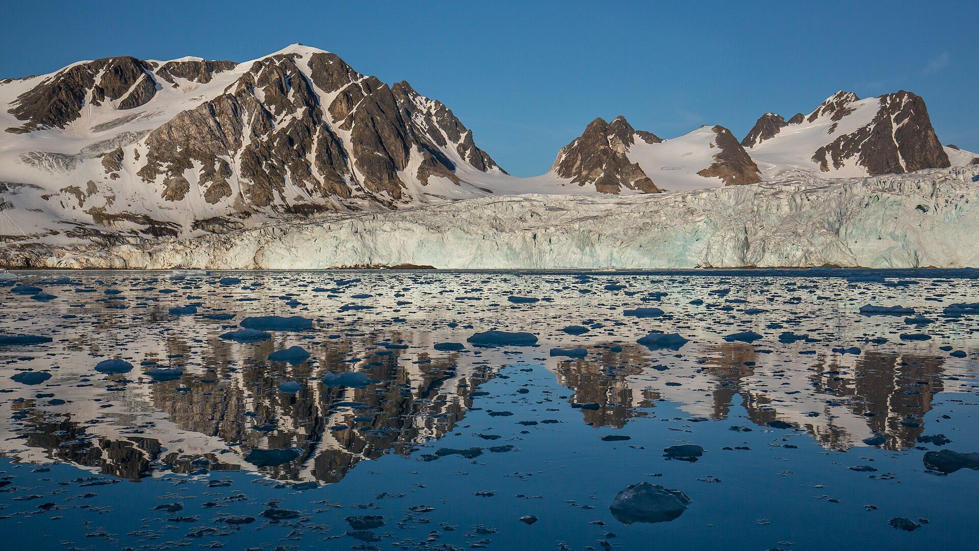
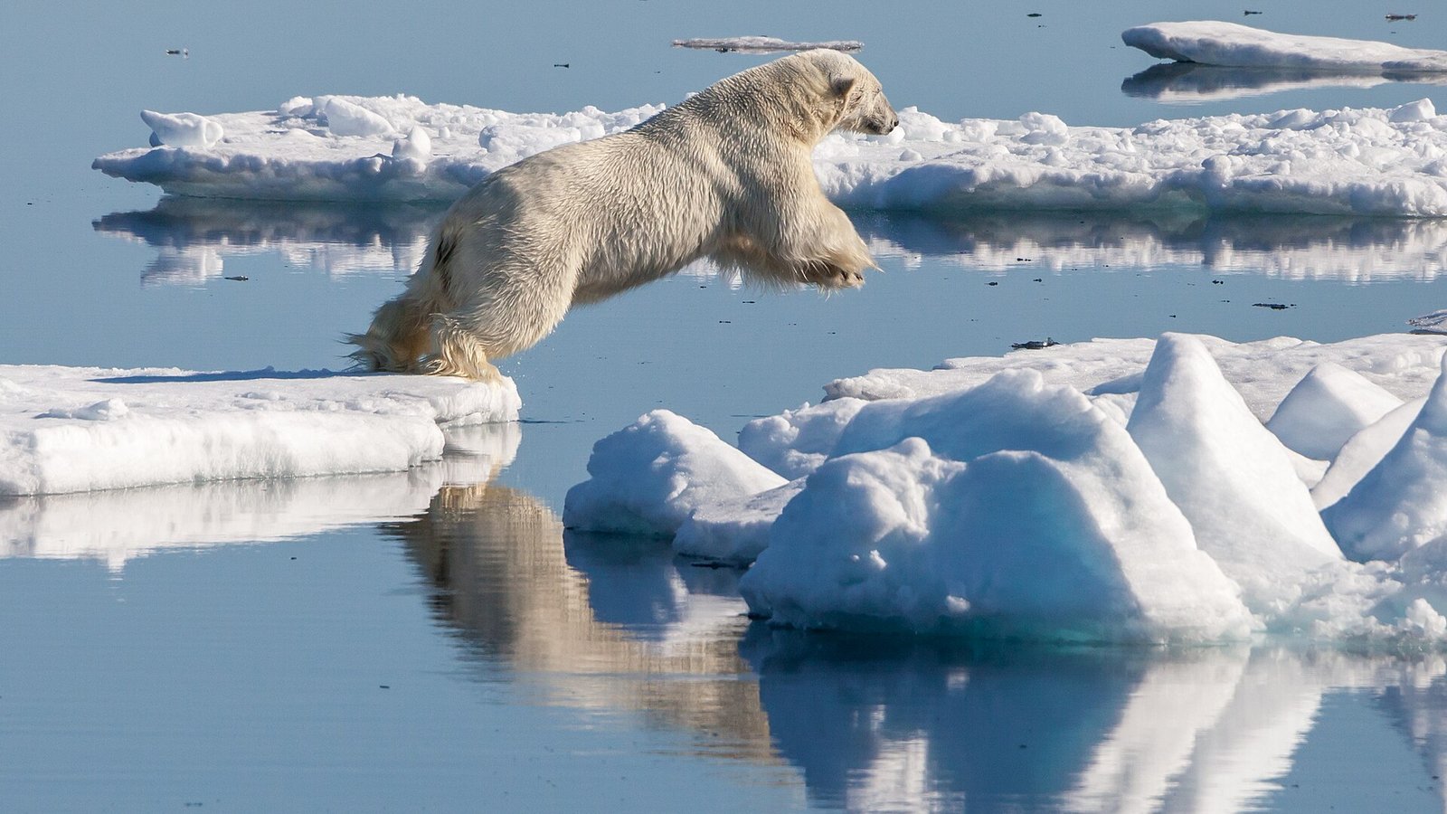
Glaciers, sea ice and evening sun that never quite sets: the edge of the inhabited world.
About Svalbard
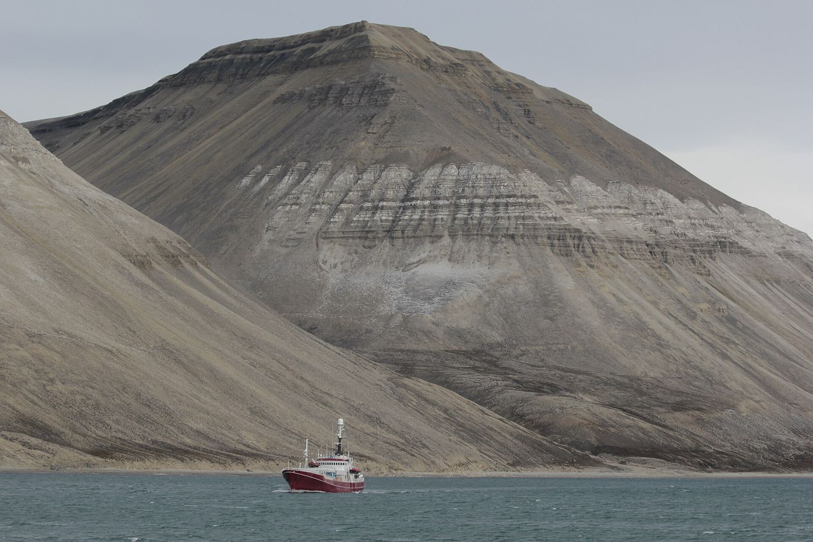
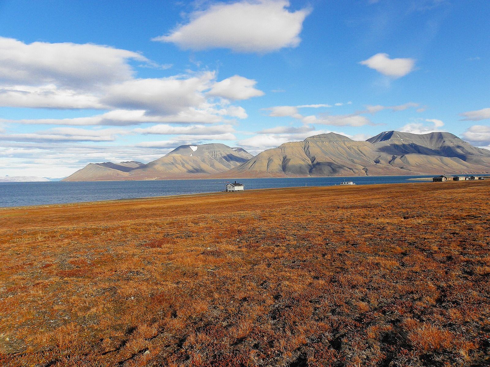
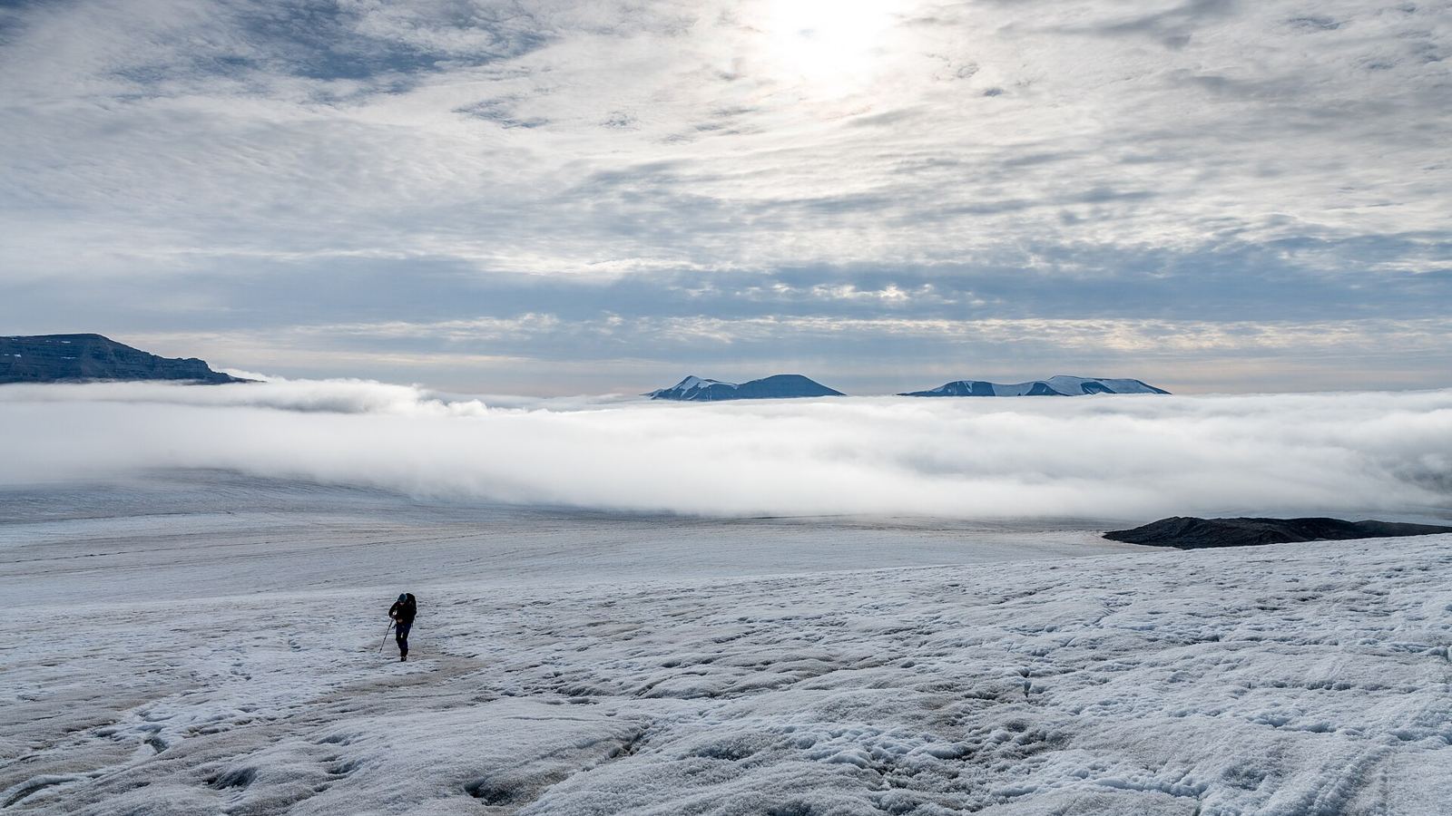
Svalbard lies midway between mainland Norway and the North Pole, where the Arctic Ocean meets the Atlantic. Around 60% of the archipelago is covered by glaciers, cut through by mountains and fjords. Whalers used the islands as a base from the 1600s, and coal mining followed in the 1900s. Today Longyearbyen is home to a university centre and the Global Seed Vault. On land live Arctic foxes and Svalbard reindeer; at sea there are walruses, seals, whales and polar bears. Plants make the most of the midnight sun. Come March–May for sun on snow, or June–August for summer.
Getting there
- Best months
- Mar–May (sunlight and snow); Jun–Aug (summer)
- Nearest airport / gateway
- Longyearbyen (LYR), with flights from Oslo and Tromsø.
- Permits & fees
- Svalbard itself needs no visa, but flights go via Norway. Schengen-visa travellers need a multiple-entry visa.
- Sources
- en.wikivoyage.org/wiki/Svalbard
en.wikipedia.org/wiki/Svalbard
Photos of Svalbard