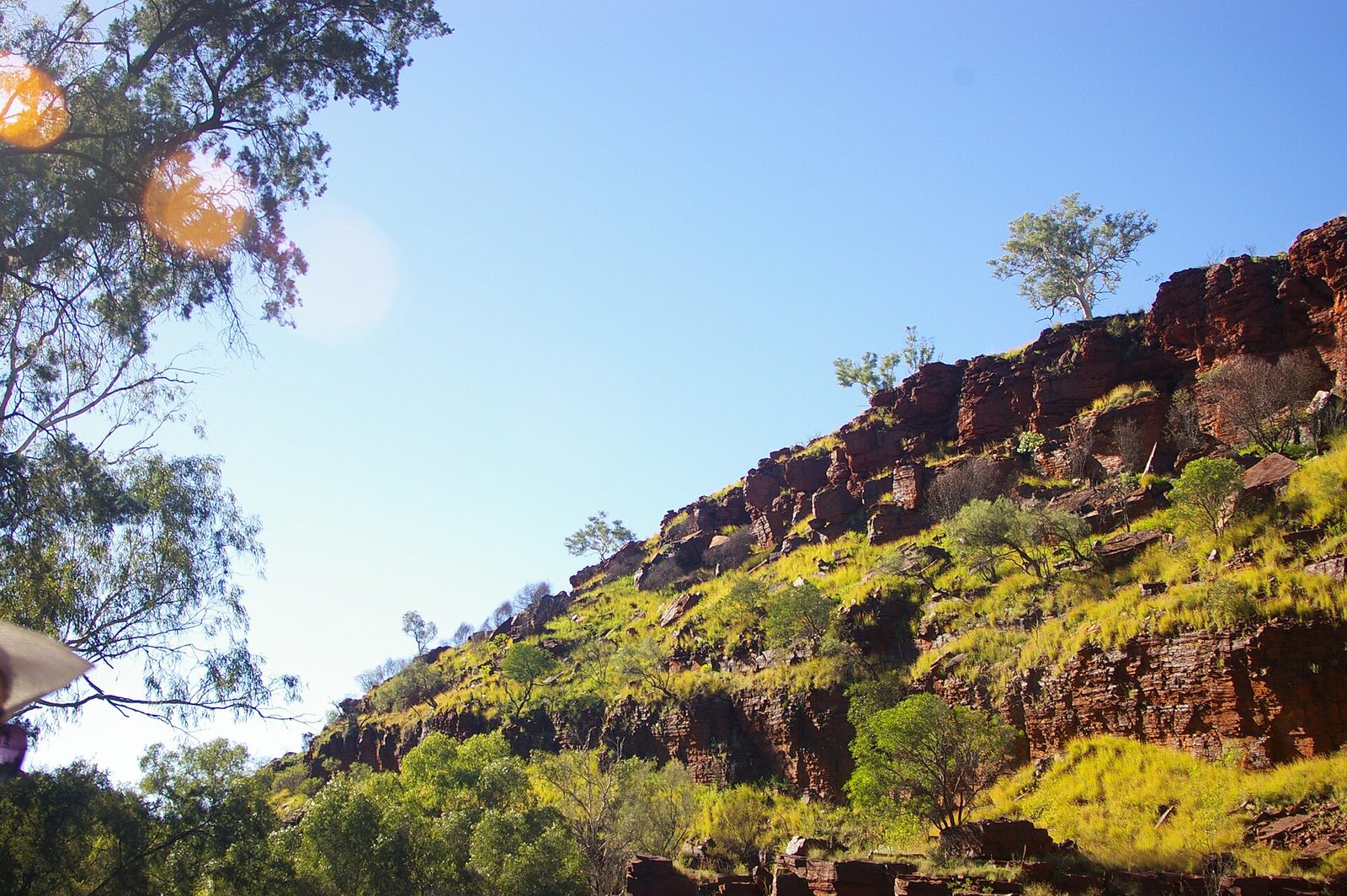
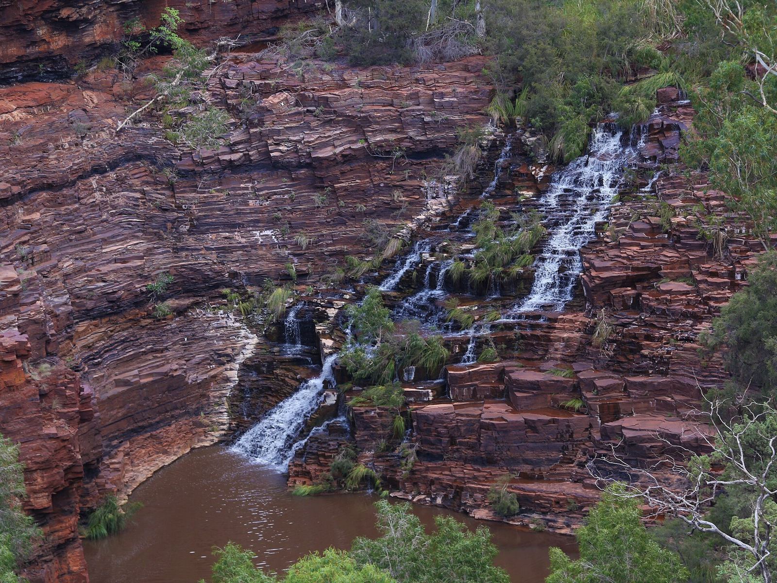
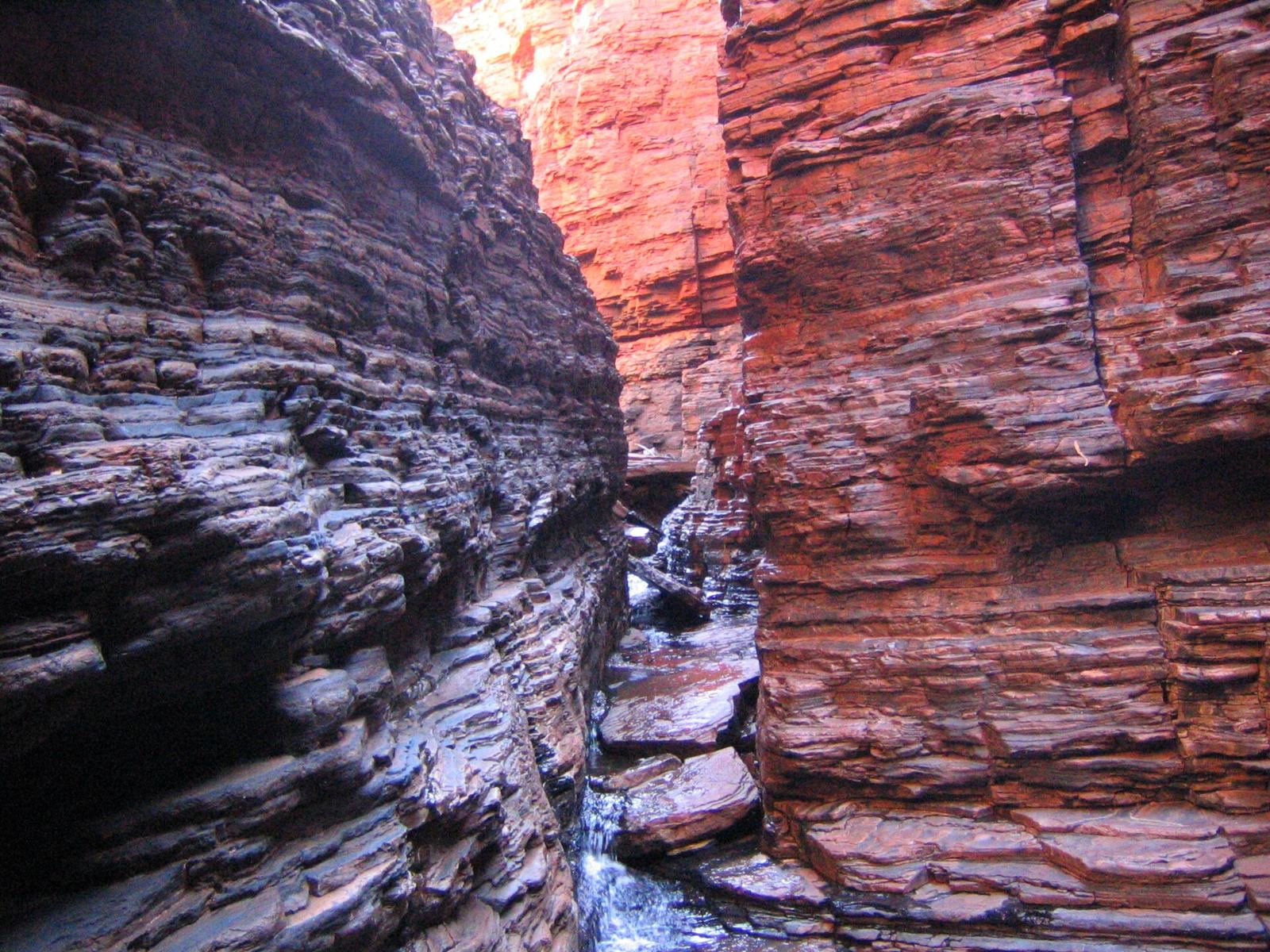
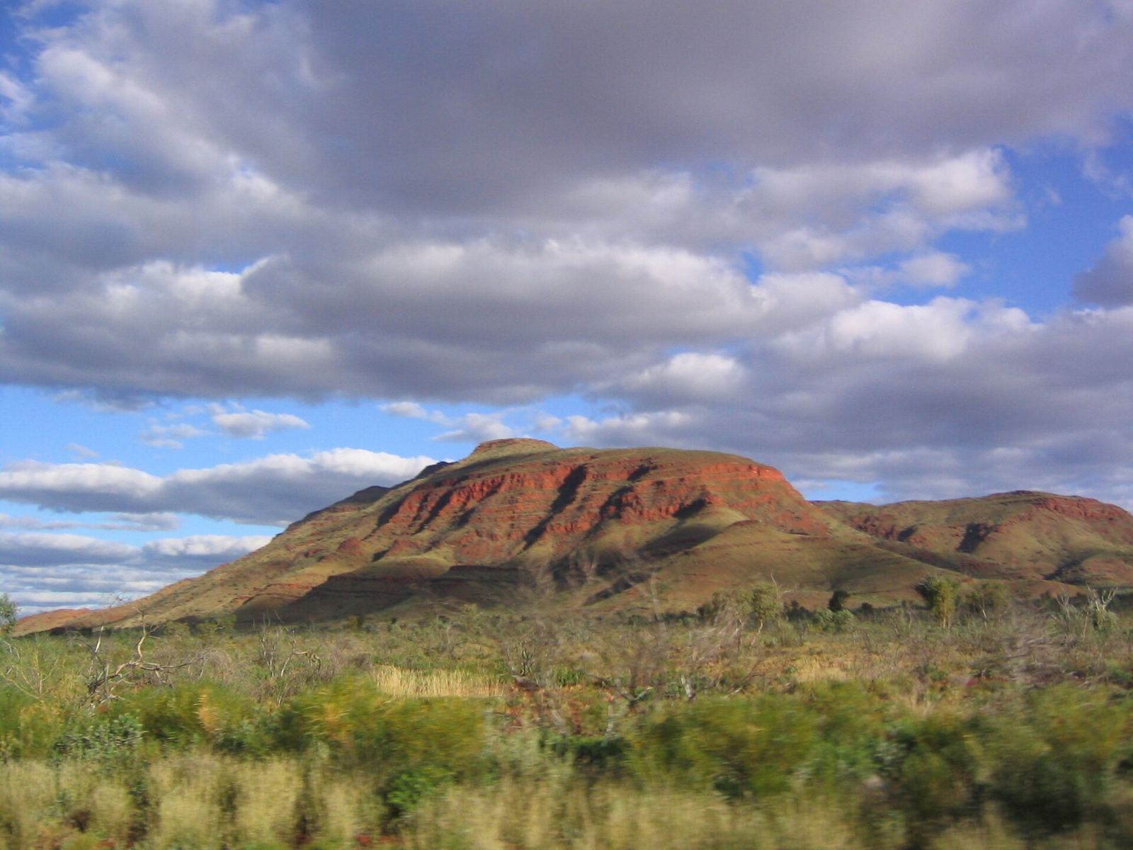
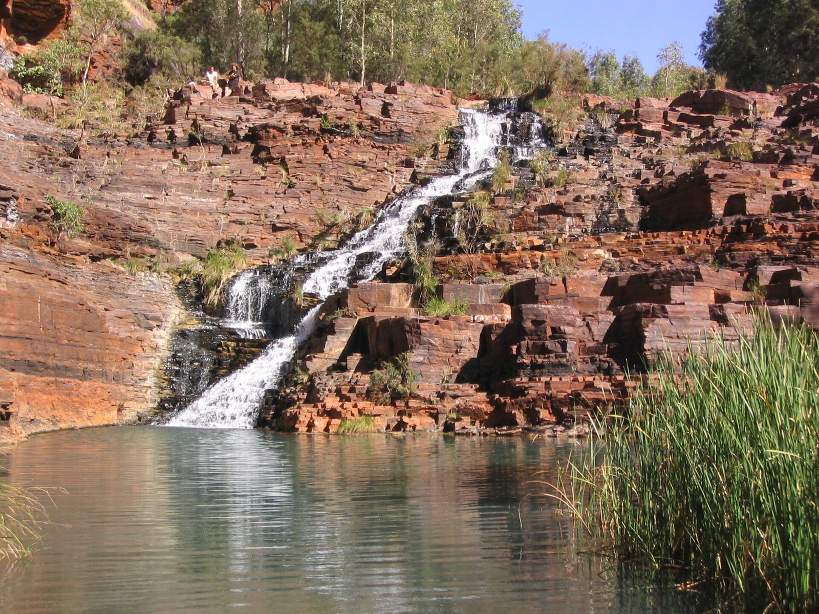
Deep red gorges in the Pilbara, with banded rock walls, waterfalls and cool green pools.
About Karijini National Park
Karijini, a Banyjima name meaning “hilly place”, lies in the Hamersley Range in Western Australia’s Pilbara, more than 1,000 km from Perth. At 627,422 ha it is the state’s second-largest national park. Its rock formations are about 2.5 billion years old. The deep gorges hold slot canyons, waterfalls and cold pools where people swim, and the walls show their layers of rock. The Banyjima, Kurrama and Innawonga peoples have lived here for over 20,000 years. May to September is the best time: warm days and cold nights. In summer it is often above 38 °C.
Getting there
- Best months
- Not stated
- Nearest airport / gateway
- Paraburdoo (PBO), about 100 km away, with flights from Perth. Newman (ZNE) is 263 km away. Rental cars at both.
- Permits & fees
- Western Australia park entry: A$12 per private vehicle (single entry). Camping only at Dales campground and Karijini Eco Retreat.
- Sources
- en.wikivoyage.org/wiki/Karijini_National_Park
en.wikipedia.org/wiki/Karijini_National_Park
Photos of Karijini National Park