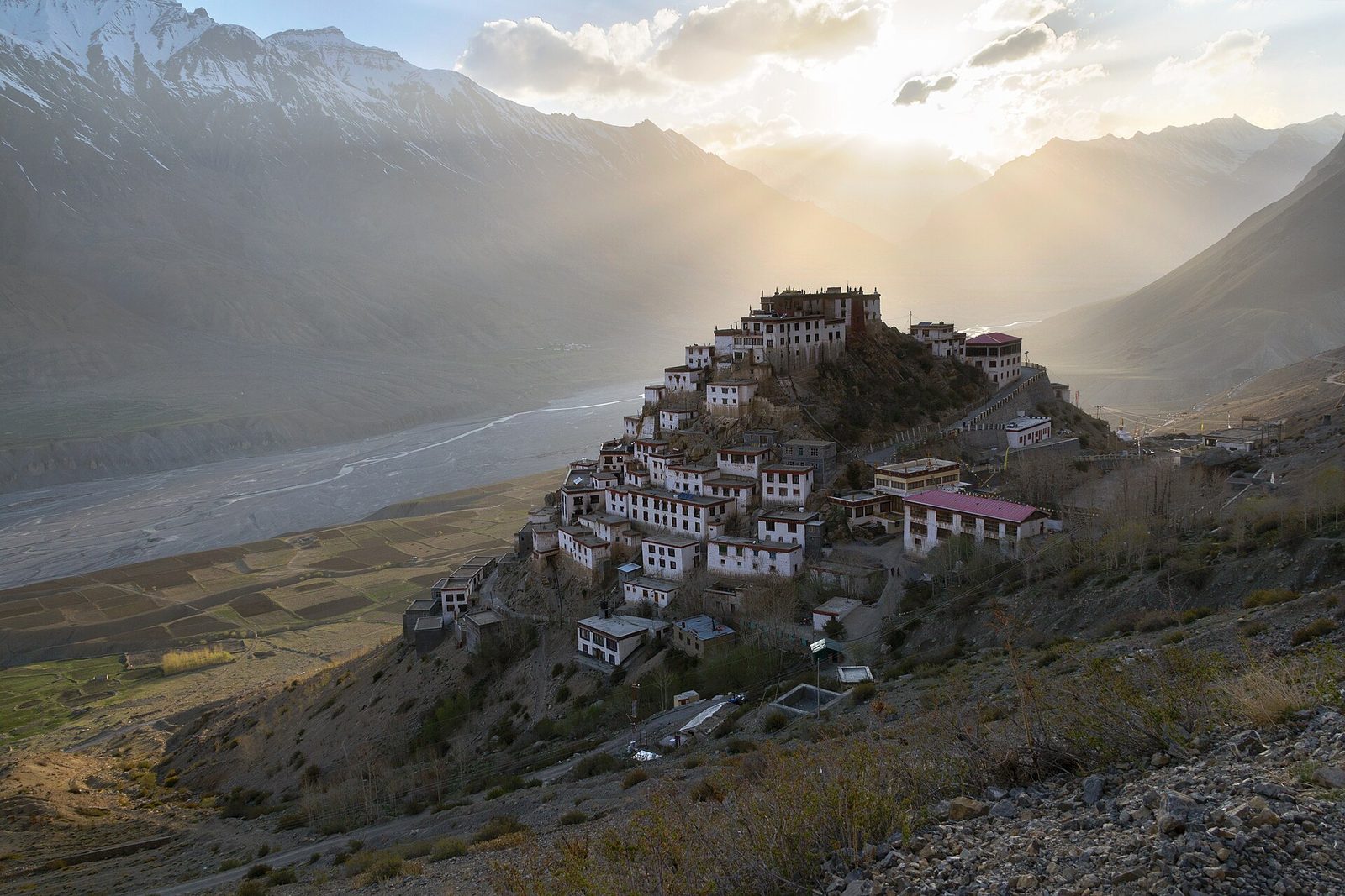
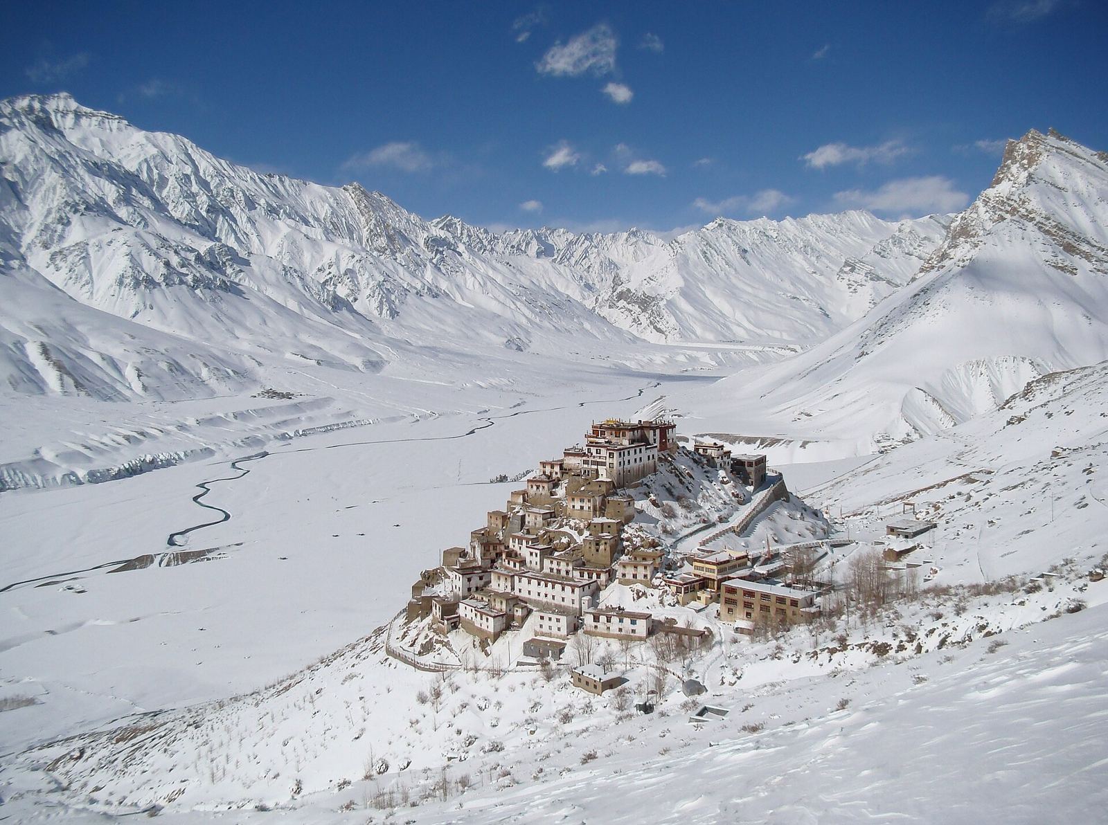
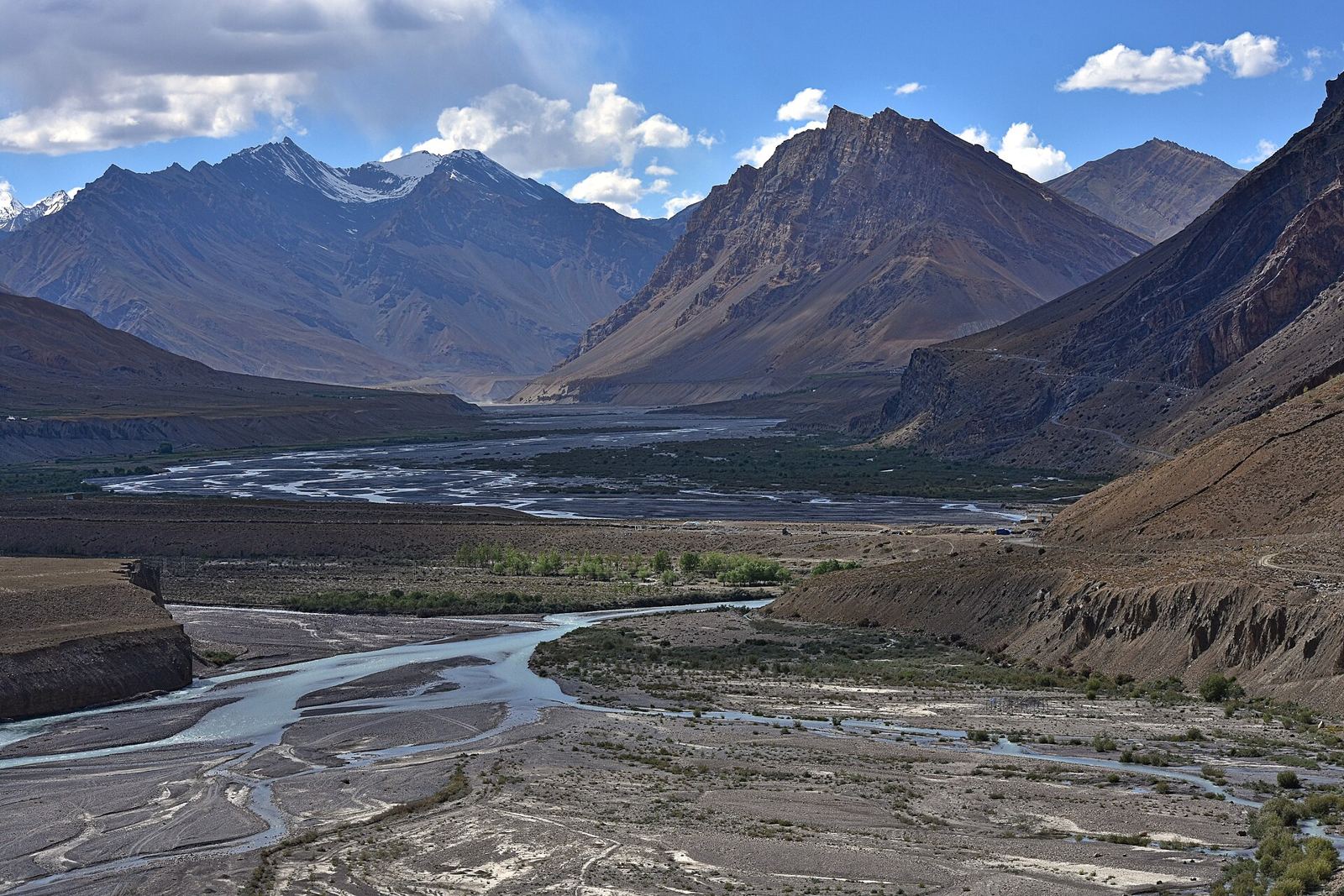
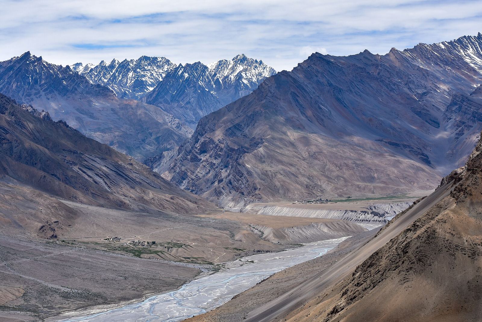
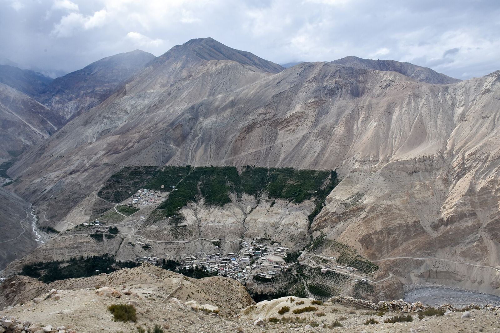
A high cold desert between Tibet and Ladakh, with cliff-top monasteries and villages above 4,000 m.
About Spiti Valley
Spiti means “the middle land”: a high Himalayan cold desert between Tibet and India in Himachal Pradesh. It is among the least populated areas in India. The Spiti River and its side valleys, such as Pin and Lingti, cut through bare mountains, and villages like Kibber and Komik sit high up and depend on snowmelt. People speak Bhoti and follow Tibetan Buddhism. Tabo monastery dates from 996 CE. Snow leopards draw photographers and wildlife spotters. In winter and spring the road over Kunzum Pass is closed by snow for five to six months.
Getting there
- Best months
- Not stated. The road over Kunzum Pass is cut off by snow for 5–6 months in winter and spring.
- Nearest airport / gateway
- Bhuntar (Kullu) Airport (KUU), 50 km from Manali; buses link Manali with Kaza. Travel by road from Shimla (gentler for acclimatising) or Manali over Kunzum Pass.
- Permits & fees
- Foreign nationals need an Inner Line Permit for Spiti. A Protected Area Permit is needed on part of the road from Shimla via Kinnaur.
- Sources
- en.wikipedia.org/wiki/Spiti
en.wikivoyage.org/wiki/Eastern_Himachal_Pradesh
en.wikivoyage.org/wiki/Manali
en.wikivoyage.org/wiki/Kaza
Photos of Spiti Valley