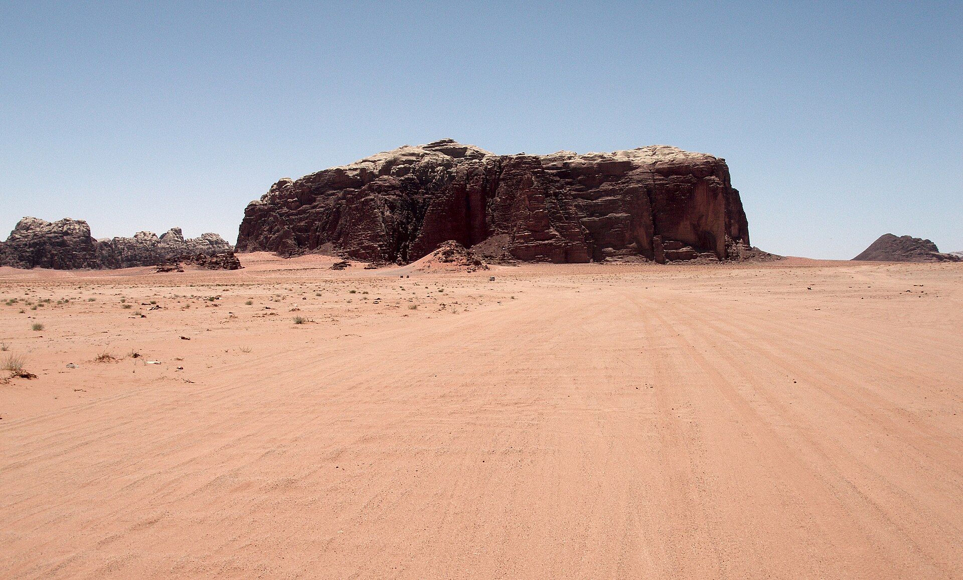
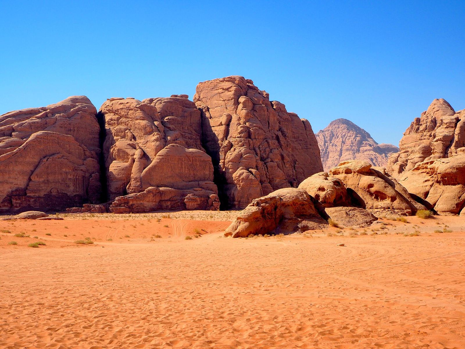
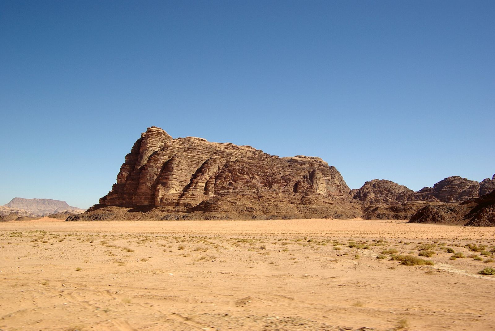
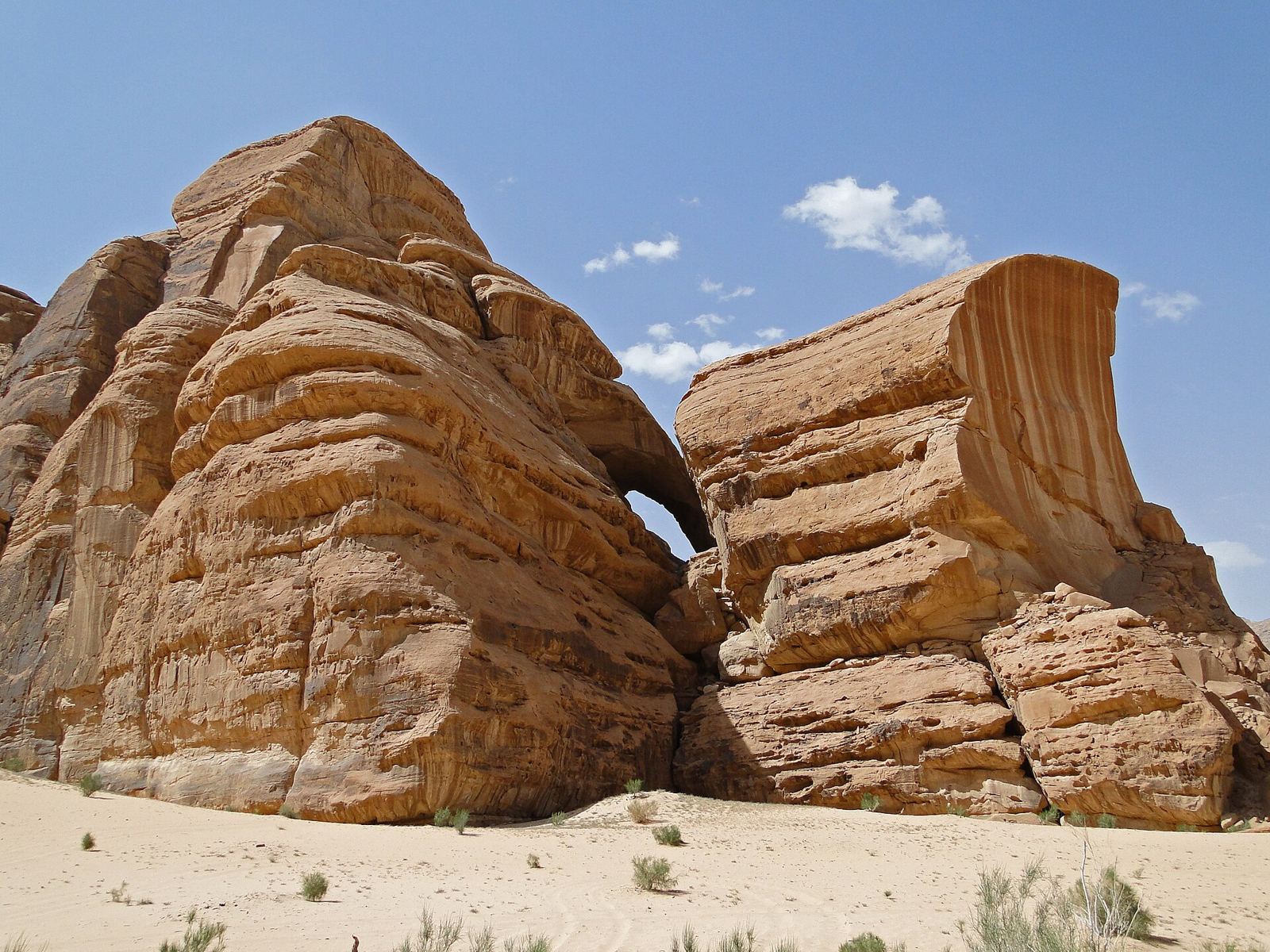
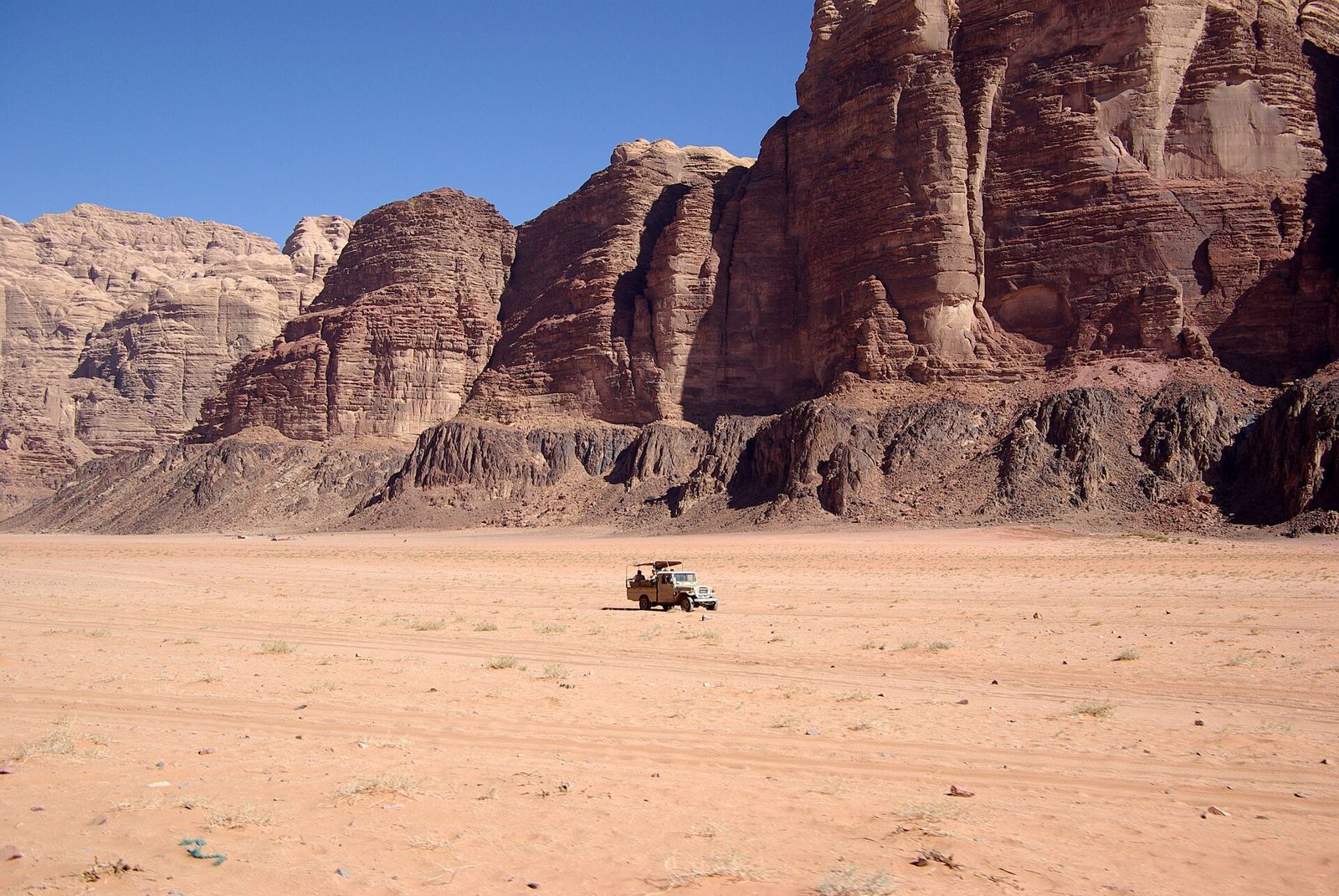
Red sand valleys and sandstone towers. The nights are silent and the stars are sharp.
About Wadi Rum
Wadi Rum, the “Valley of the Moon”, is cut into sandstone and granite in southern Jordan. Covering 720 km², it is the country’s largest wadi. Jebel Rum rises 1,734 m straight out of the valley floor. In Khaz’ali Canyon, petroglyphs of people and antelopes are carved into the rock, left behind with inscriptions and ruins by ancient peoples. A few hundred Bedouin live in Wadi Rum village, in goat-hair tents and concrete houses. Rain is rare and usually comes as flash floods. The protected area has been a UNESCO World Heritage Site since 2011. Spring and autumn are the gentlest seasons.
Getting there
- Best months
- Spring or autumn
- Nearest airport / gateway
- Aqaba. The entrance is about 40 km north of Aqaba, off the Desert Highway.
- Permits & fees
- Protected-area entry: 5 JD per person, or free with the Jordan Pass.
- Sources
- en.wikivoyage.org/wiki/Wadi_Rum
en.wikipedia.org/wiki/Wadi_Rum
Photos of Wadi Rum