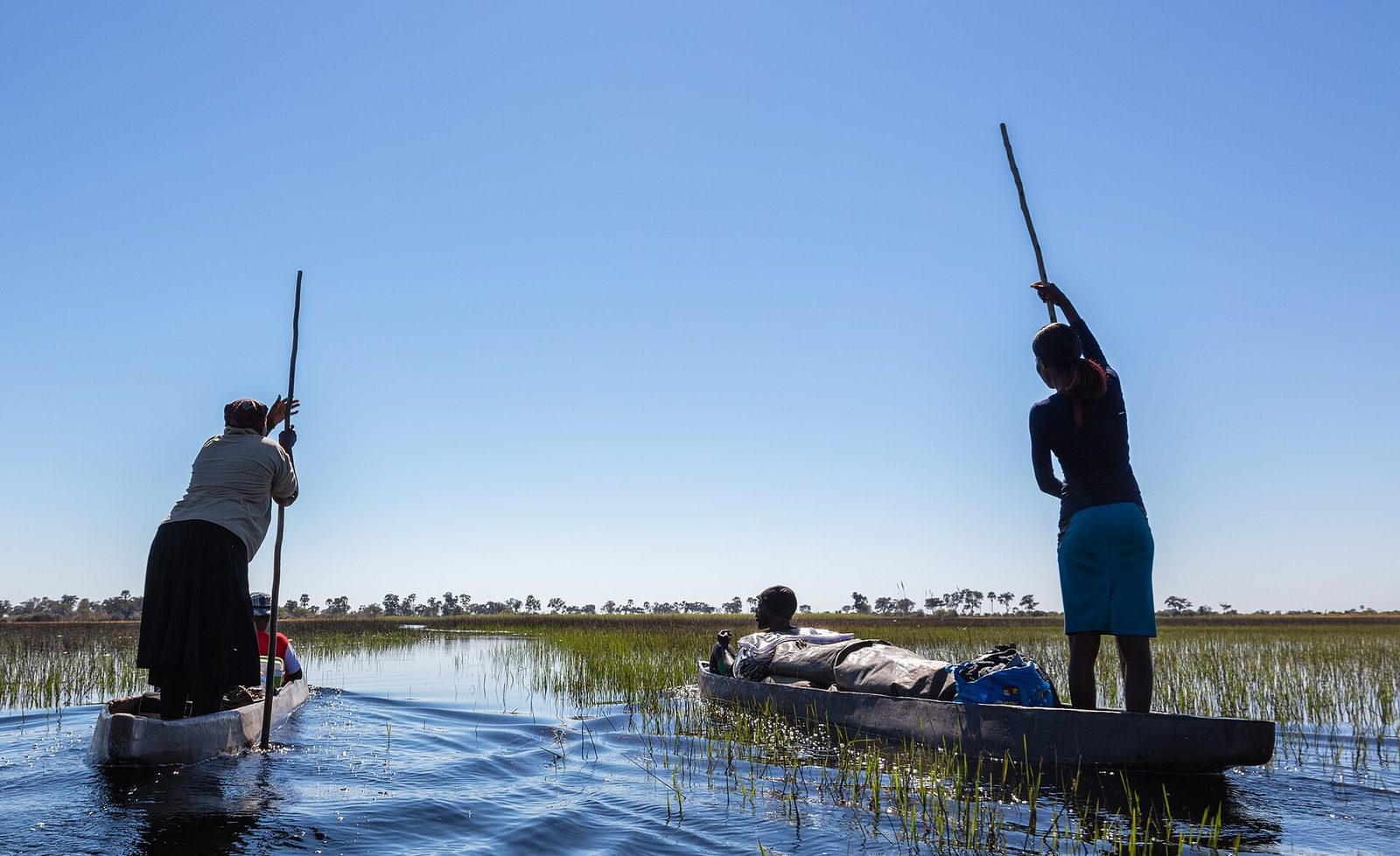
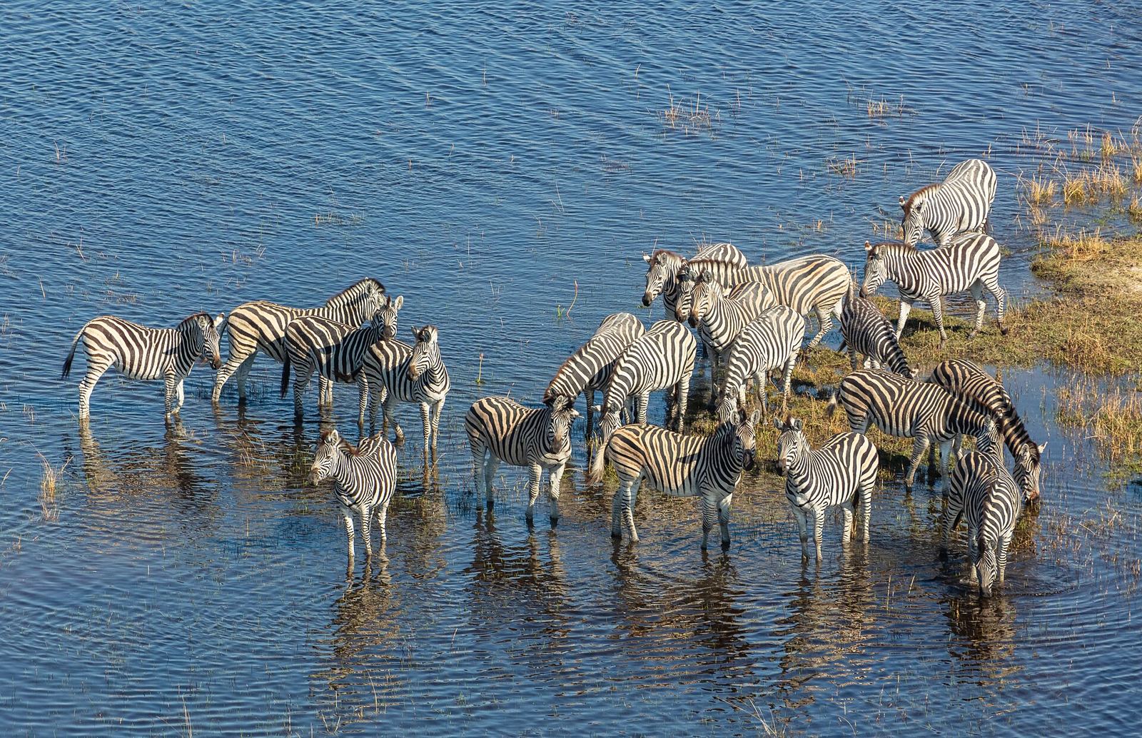
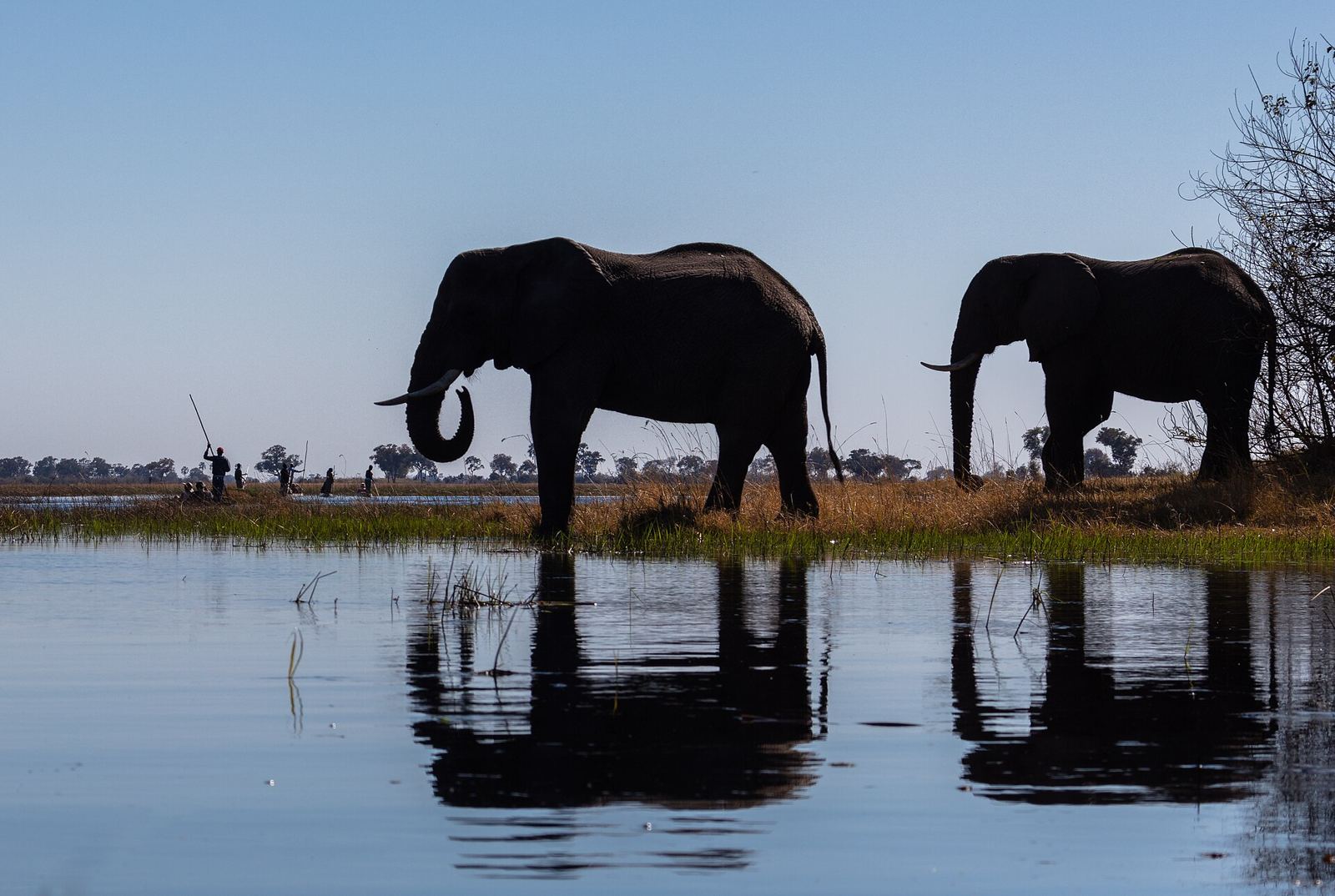
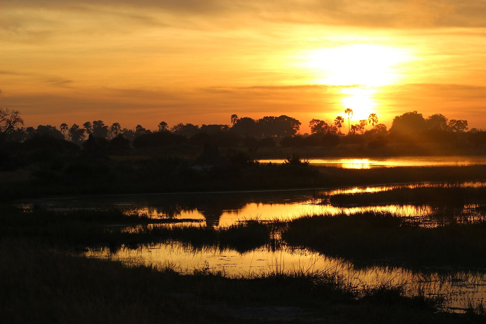
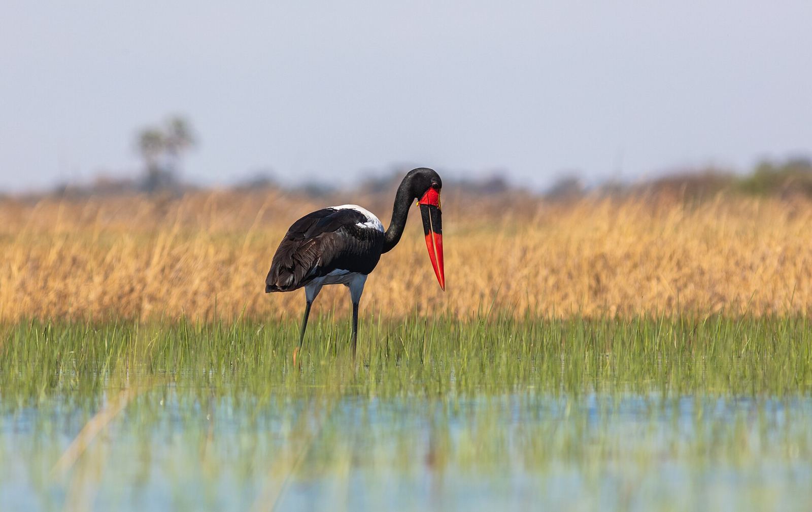
A vast inland delta where floodwater spreads across the Kalahari, explored by dugout canoe.
About Okavango Delta
The Okavango Delta is a vast inland delta in the middle of the Kalahari. The Okavango River never reaches the sea: each year about 11 km³ of floodwater spreads over sandy floodplains and islands, 6,000–15,000 km² of them. Nearly all of it evaporates or is drawn up by plants. The area was once part of the ancient Lake Makgadikgadi, and Moremi Game Reserve lies on its eastern side. In 2014 it became the 1,000th site on the UNESCO World Heritage List. The floods peak June–August, and mokoro canoe trips run February–August.
Getting there
- Best months
- Not stated. Floods peak June–August; mokoro (canoe) trips run February–August.
- Nearest airport / gateway
- Maun is the usual starting point; flying-safari operators and charter planes leave from there.
- Permits & fees
- Not stated
- Sources
- en.wikivoyage.org/wiki/Okavango_Delta
en.wikipedia.org/wiki/Okavango_Delta
Photos of Okavango Delta