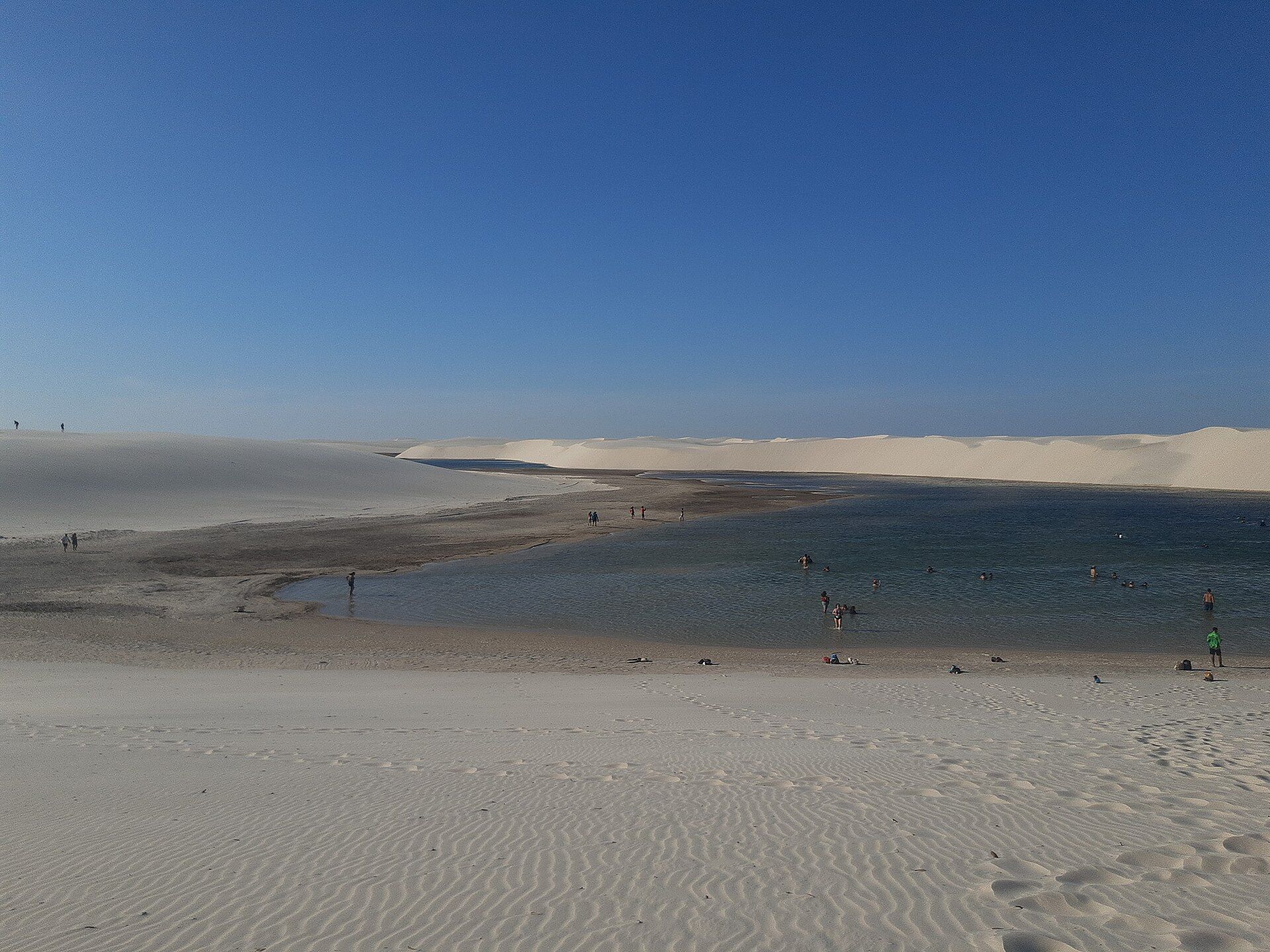
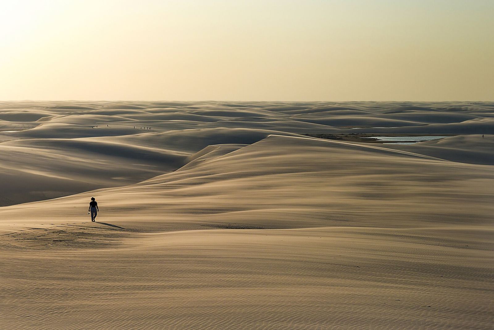
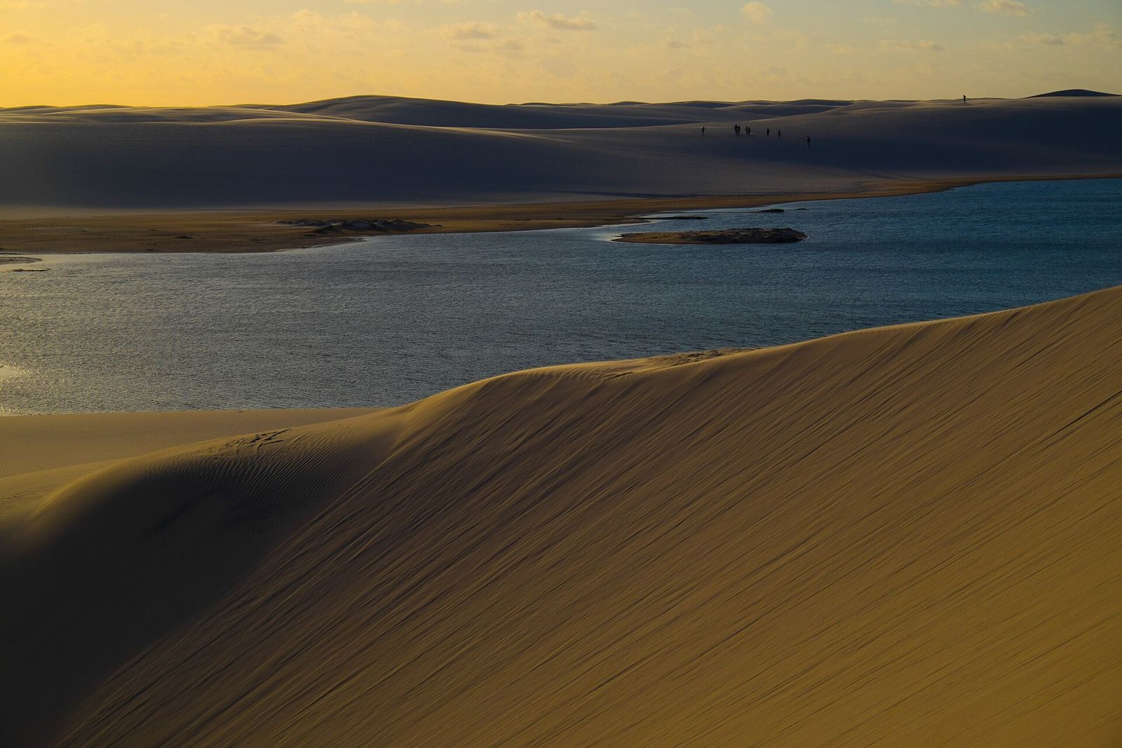
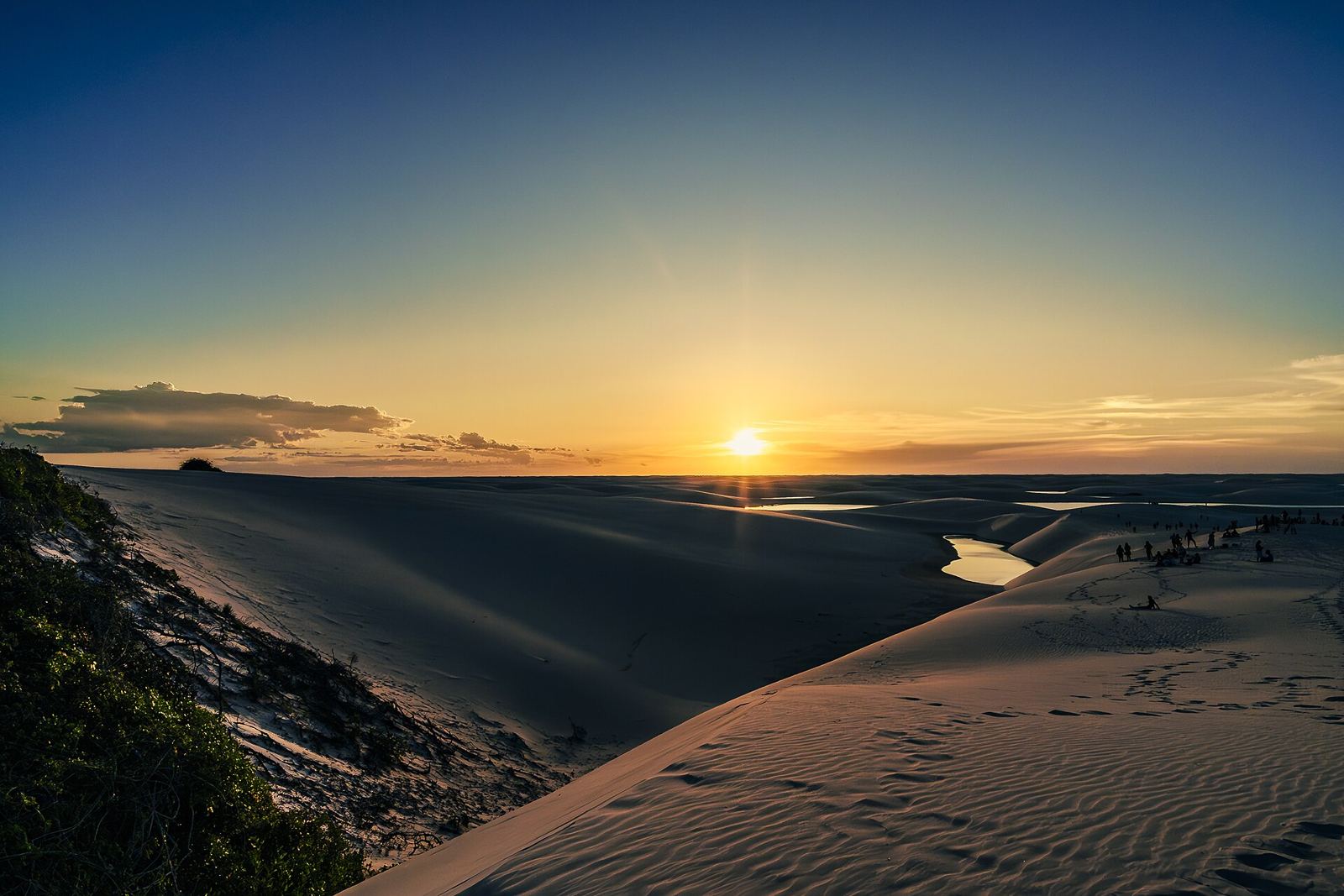
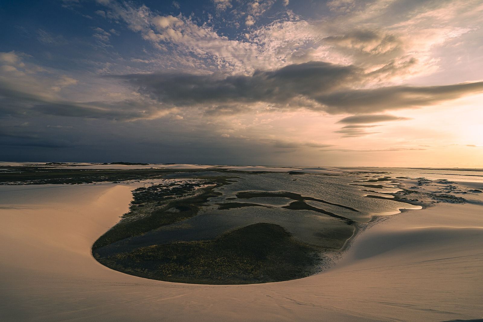
White dunes stretch to the horizon, and rainwater pools between them in blue and green lagoons.
About Lençóis Maranhenses
Lençóis Maranhenses looks like a desert, yet it gets about 1,200 mm of rain a year. Rivers carry sand to the coast of Maranhão, and the wind drives it up to 50 km inland into dunes as high as 40 m. Between January and June the rain fills the hollows with clear freshwater lagoons, up to 100 m long and 3 m deep, held in place by impermeable rock under the sand. At their peak they cover as much as 41% of the park. The park spans 155,000 ha and 70 km of Atlantic coast, and became a UNESCO World Heritage Site in 2024.
Getting there
- Best months
- May–September, after the rains fill the lagoons
- Nearest airport / gateway
- Gateway: São Luís, then a bus to Barreirinhas.
- Permits & fees
- There are no fees or permits.
- Sources
- en.wikivoyage.org/wiki/Len%C3%A7%C3%B3is_Maranhenses_National_Park
en.wikipedia.org/wiki/Lençóis_Maranhenses_National_Park
Photos of Lençóis Maranhenses